Transport Functions
Multimodal
Hub Profile
Place type
Urban district
Region
Tamil Nadu
Time zone
Asia/Kolkata
Elevation
8 m
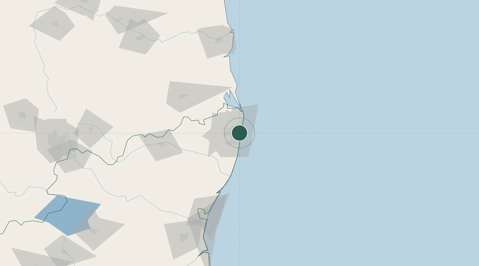
Location
Nearby Logistics Neighbours
Cities
- 1TIPL SEZ/Chennai2 km
- 2CTSI SEZ/Siruseri2 km
- 3HTL SEZ/Siruseri2 km
- 4TCSL SEZ/Siruseri2 km
- 5Tondiarpet2 km
Ports
- 1Chennai (Madras)2 km
- 2Kamarajar Port19 km
- 3Kattupalli Port129 km
- 4Pondicherry139 km
- 5Cuddalore164 km
Airports
- 1Chennai International Airport17 km
- 2Tirupati International Airport100 km
- 3Pondicherry Airport136 km
- 4Kadapa Airport227 km
- 5Kempegowda International Airport Bengaluru279 km
Trade Zones
DatabookThe Record of Consolidated Knowledge
India beyond logistics?