Transport Functions
Multimodal
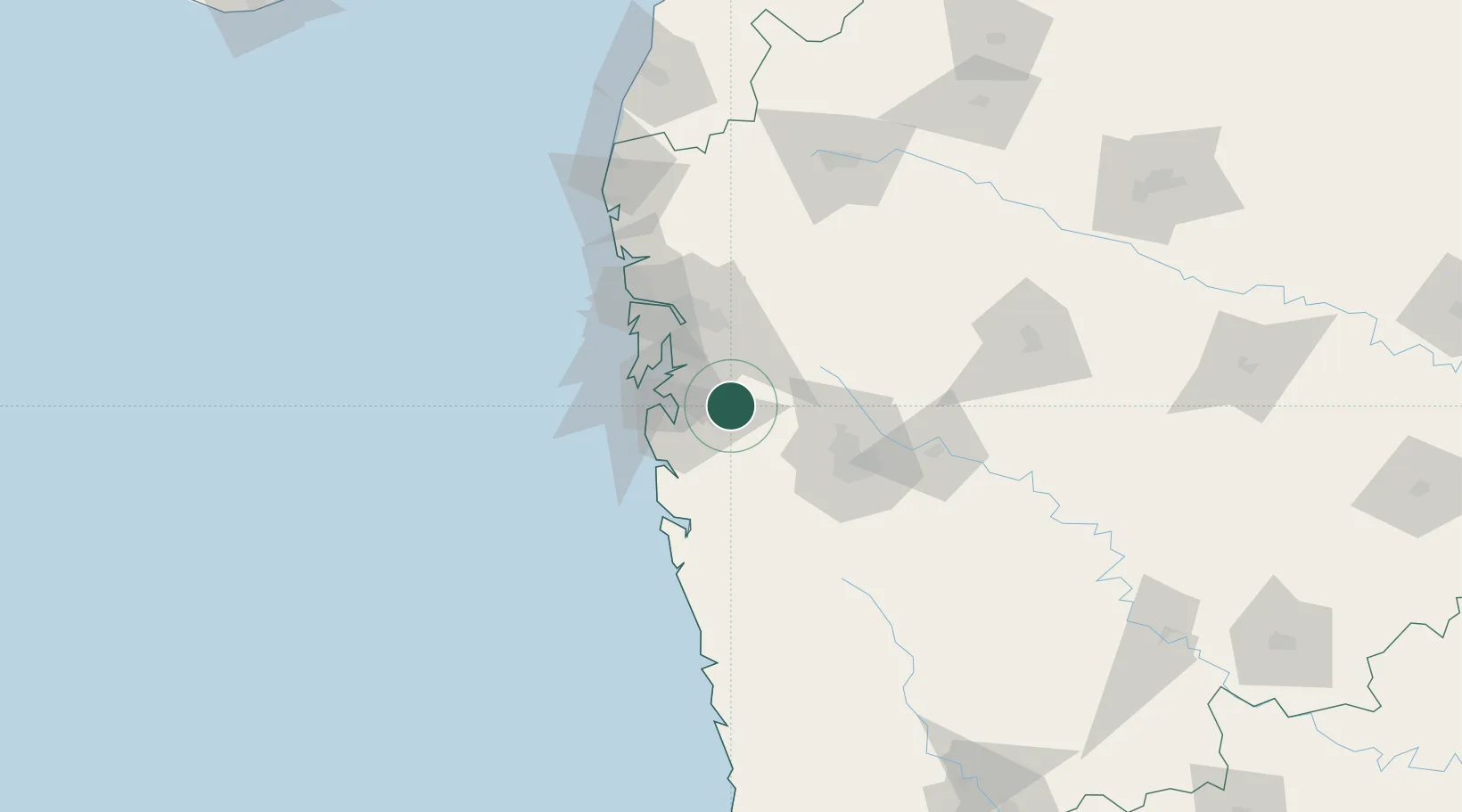
Hub Profile
Place type
Populated place
Region
Maharashtra
Time zone
Asia/Kolkata
Elevation
52 m
Location
Nearby Logistics Neighbours
Cities
- 1Khopoli8 km
- 2IT-ITES-C-SEZ/Ulwe10 km
- 3PDPL SEZ/Raigarh24 km
- 4SVRL SEZ/Raigad26 km
- 5Arshiya International Ltd.-SEZ/Panvel26 km
Ports
- 1Jawaharlal Nehru Port (Nhava Shiva)37 km
- 2Mumbai (Bombay)45 km
- 3Port Dabhol138 km
- 4Jaigarh Bay169 km
- 5Ratnagiri204 km
Airports
Trade Zones
DatabookThe Record of Consolidated Knowledge
India beyond logistics?