Transport Functions
Multimodal
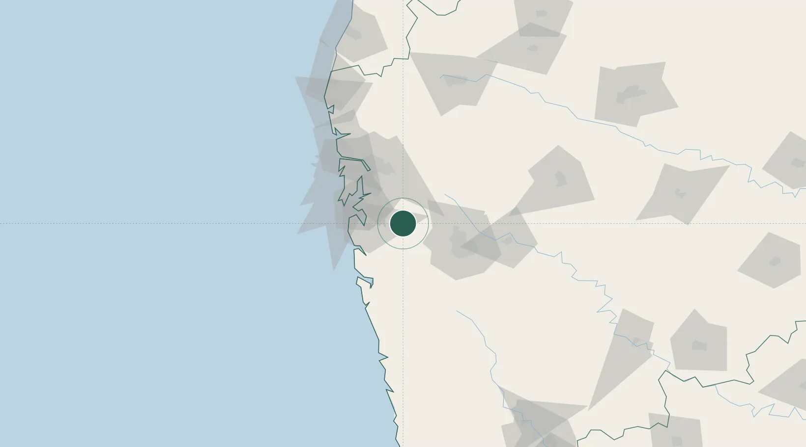
Hub Profile
Region
MH
Location
Nearby Logistics Neighbours
Cities
- 1Khopoli4 km
- 2Khalapur10 km
- 3PDPL SEZ/Raigarh33 km
- 4SVRL SEZ/Raigad36 km
- 5Arshiya International Ltd.-SEZ/Panvel36 km
Ports
- 1Jawaharlal Nehru Port (Nhava Shiva)46 km
- 2Mumbai (Bombay)55 km
- 3Port Dabhol131 km
- 4Jaigarh Bay162 km
- 5Ratnagiri197 km
Airports
Trade Zones
- 1Embassy Quadron Tech Park42 km
- 2Pune Embassy India Pvt Ltd44 km
- 3Infosys Limited45 km
- 4Syntel International Pvt Ltd48 km
- 5Bajaj Auto Limited49 km
DatabookThe Record of Consolidated Knowledge
India beyond logistics?