Transport Functions
Multimodal
Hub Profile
Place type
Populated place
Region
Gujarat
Time zone
Asia/Kolkata
Elevation
57 m
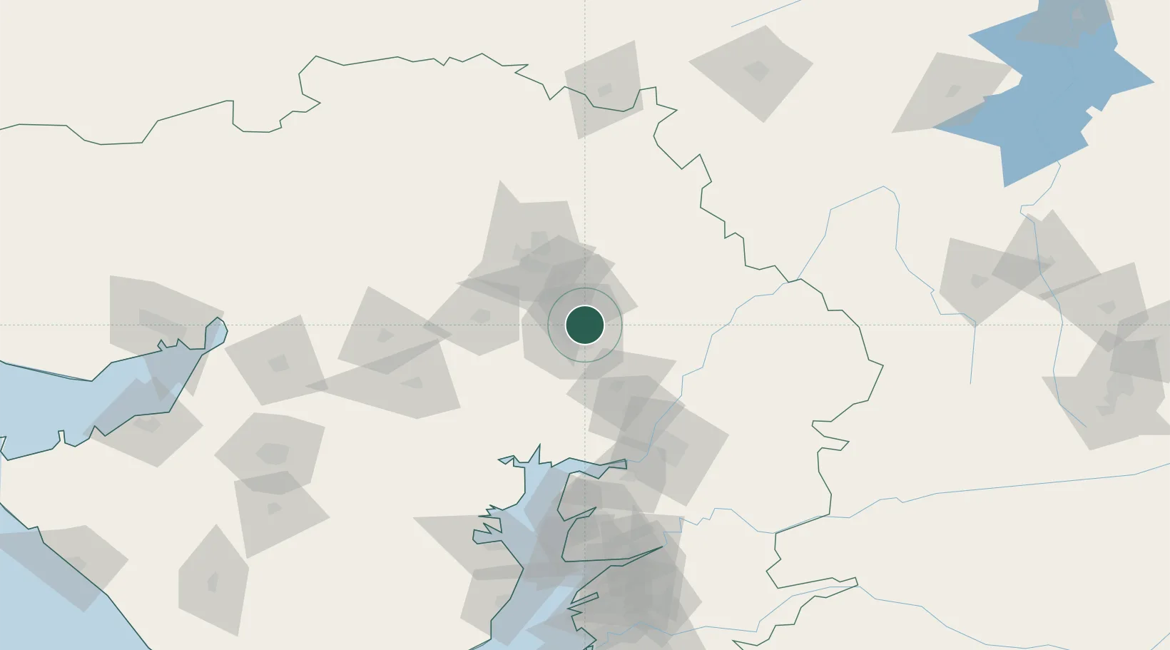
Location
Nearby Logistics Neighbours
Cities
- 1Ccipl-SEZ/Ahmadabad8 km
- 2Gipl-SEZ/Ahmadabad8 km
- 3Mrpl-SEZ/Ahmadabad8 km
- 4Cgrpl-SEZ/Ahmadabad8 km
- 5Aap-SEZ/Ahmedabad8 km
Airports
DatabookThe Record of Consolidated Knowledge
India beyond logistics?