UN/LOCODE hub · India
INGDH

Gandhinagar

23.2167°, 72.6833°
292,797
Population
1
Transport functions

Transport Functions

Multimodal
UN/LOCODE

Hub Profile

Place type
Regional capital
GeoNames
Region
Gujarat
GeoNames
Population
292,797
GeoNames
Time zone
Asia/Kolkata
GeoNames
Elevation
54 m
GeoNames

Location

Location of INGDH
Natural Earth 10m (public domain) · Gujarat · INGDH · 23.22, 72.68GoogleOSMYandex

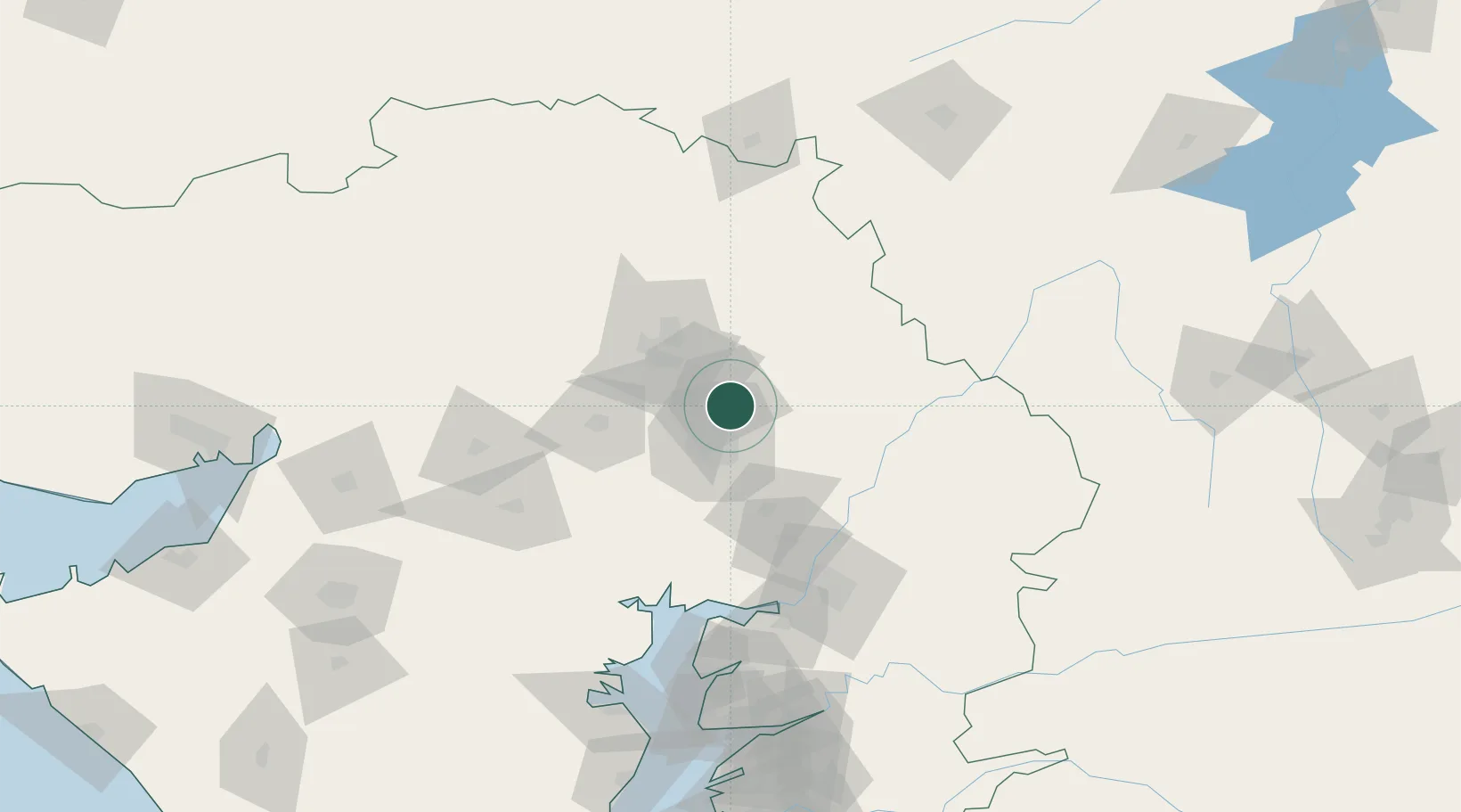
Nearby Logistics Neighbours

Cities
  1. 1Gidc-SEZ/Gandhinagar0 km
  2. 2Srehpl-SEZ/Gandhinagar0 km
  3. 3TCS-SEZ/Gandhinagar0 km
  4. 4Sabarmati15 km
  5. 5Kalol19 km
Nearest neighbours — logibook spatial index (haversine) over the source coordinates
Ports
  1. 1Bhavnagar168 km
  2. 2Dahej169 km
  3. 3Magdalla230 km
  4. 4Navlakhi231 km
  5. 5Hazira237 km
Nearest neighbours — logibook spatial index (haversine) over the source coordinates
Airports
  1. 1Sardar Vallabh Patel International Airport16 km
  2. 2Vadodara International Airport113 km
  3. 3Bhavnagar Airport171 km
  4. 4Rajkot International Airport193 km
  5. 5Maharana Pratap Airport199 km
Nearest neighbours — logibook spatial index (haversine) over the source coordinates
Trade Zones
  1. 1Tata Consultancy Services Ltd, Gandhinagar.6 km
  2. 2Gift Multi Service SEZ7 km
  3. 3Aqualine Properties Pvt. Ltd. Gandhinagar.8 km
  4. 4Suzlon Infrastructure Ltd.24 km
  5. 5GiDC Apparel Park Ahmedabad24 km
Nearest neighbours — logibook spatial index (haversine) over the source coordinates
DatabookThe Record of Consolidated Knowledge
India beyond logistics?
Browse databook

All Sources

LocationsUN/LOCODE
UN/LOCODE — free
LocationsGeoNames
CC BY 4.0
Portsthe NGA World Port Index
Public domain (US gov)
AirportsOurAirports
Public domain
Trade Zonesthe World Bank SEZ database
CC BY 4.0
Trade ZonesOpen Zone Map
CC BY
← India locations