Transport Functions
Rail
Road
Hub Profile
Place type
Populated place
Region
Gujarat
Population
15,932
Time zone
Asia/Kolkata
Elevation
71 m
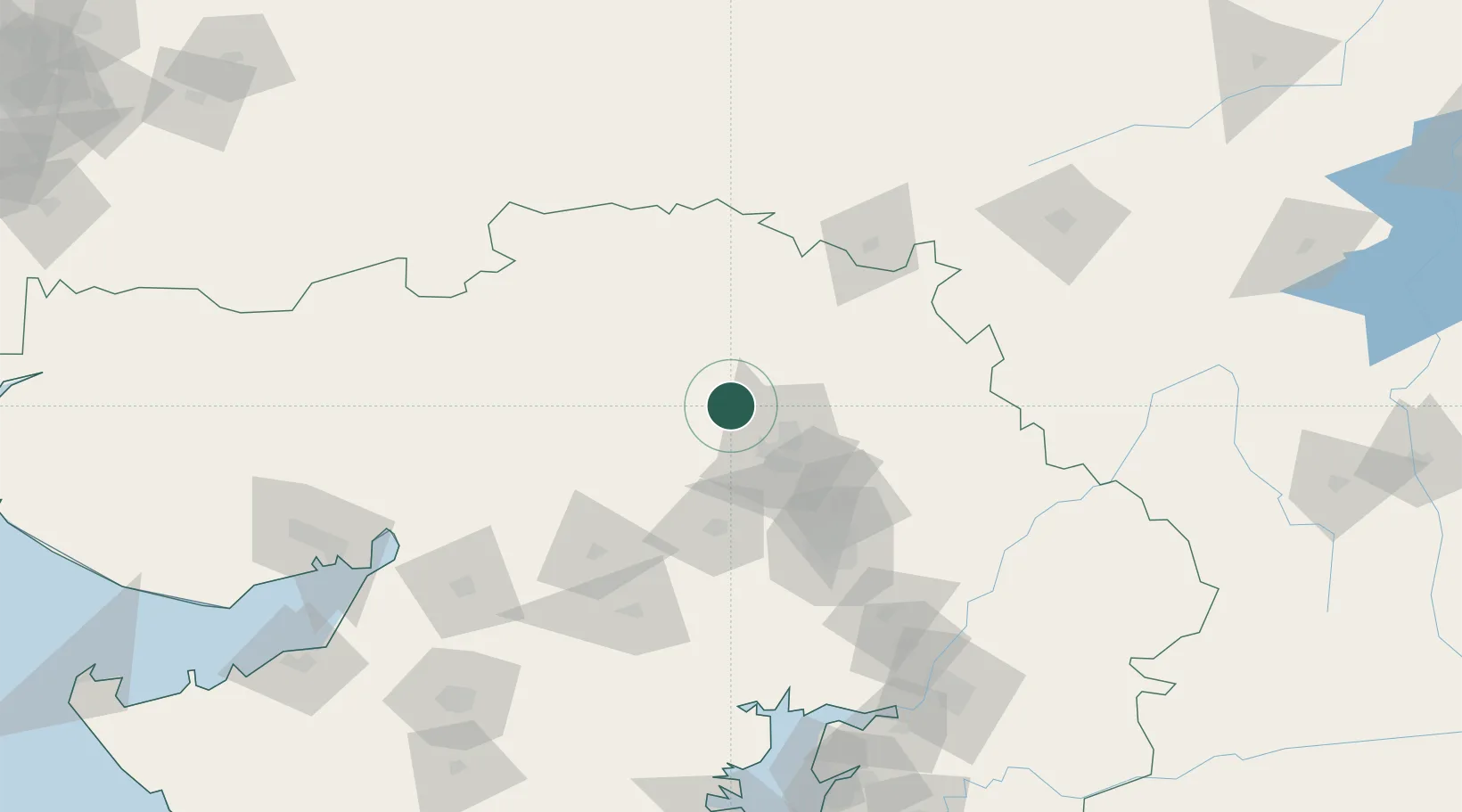
Location
Nearby Logistics Neighbours
Cities
- 1Kalol67 km
- 2Vijapur67 km
- 3Bhojva Icd/Viramgam67 km
- 4Sachana ICD/Viramgam71 km
- 5Ahmedabad79 km
Airports
Trade Zones
DatabookThe Record of Consolidated Knowledge
India beyond logistics?