Transport Functions
Multimodal
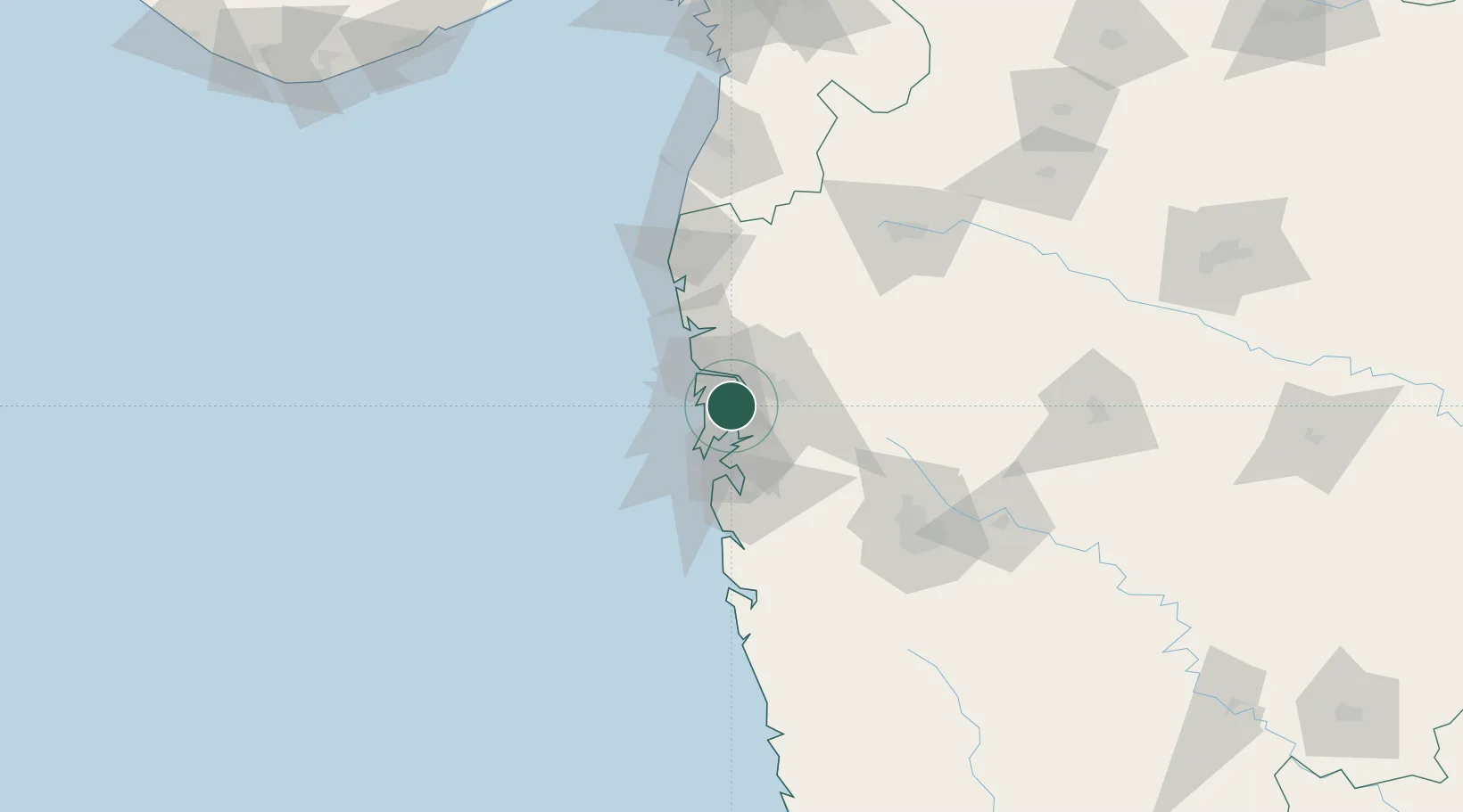
Hub Profile
Place type
Populated place
Region
Maharashtra
Time zone
Asia/Kolkata
Elevation
6 m
Logistics facilities
3
Location
Nearby Logistics Neighbours
Cities
- 1NPLP SEZ/Thane3 km
- 2IGGSL SEZ/Thane5 km
- 3SPPL SEZ/Thane5 km
- 4SCPL SEZ/Mulund5 km
- 5Thane5 km
Ports
- 1Mumbai (Bombay)23 km
- 2Jawaharlal Nehru Port (Nhava Shiva)23 km
- 3Port Dabhol176 km
- 4Jaigarh Bay208 km
- 5Hazira217 km
Airports
Trade Zones
DatabookThe Record of Consolidated Knowledge
India beyond logistics?