Transport Functions
Multimodal
Hub Profile
Region
MH
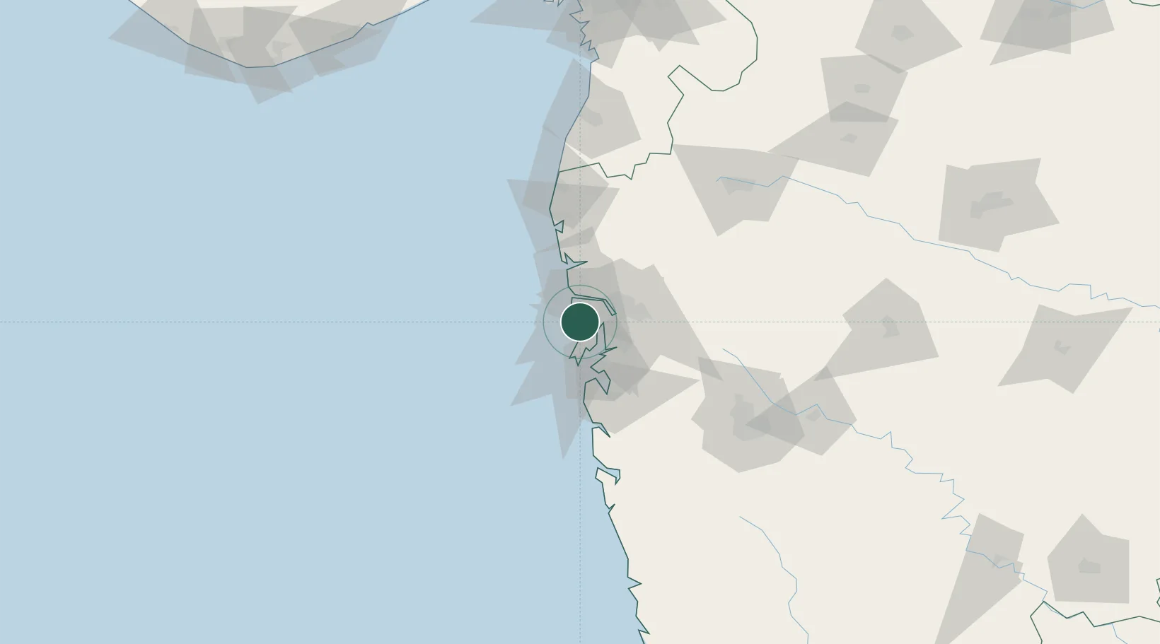
Location
Nearby Logistics Neighbours
Cities
Ports
- 1Mumbai (Bombay)23 km
- 2Jawaharlal Nehru Port (Nhava Shiva)27 km
- 3Port Dabhol180 km
- 4Jaigarh Bay212 km
- 5Hazira214 km
Airports
Trade Zones
DatabookThe Record of Consolidated Knowledge
India beyond logistics?