UN/LOCODE hub · India
INCJI

IG3I SEZ/Kancheepuram

12.8333°, 79.7167°
2
Transport functions

Transport Functions

Road
Multimodal
UN/LOCODE

Hub Profile

Region
TN
GeoNames

Location

Location of INCJI
Natural Earth 10m (public domain) · TN · INCJI · 12.83, 79.72GoogleOSMYandex

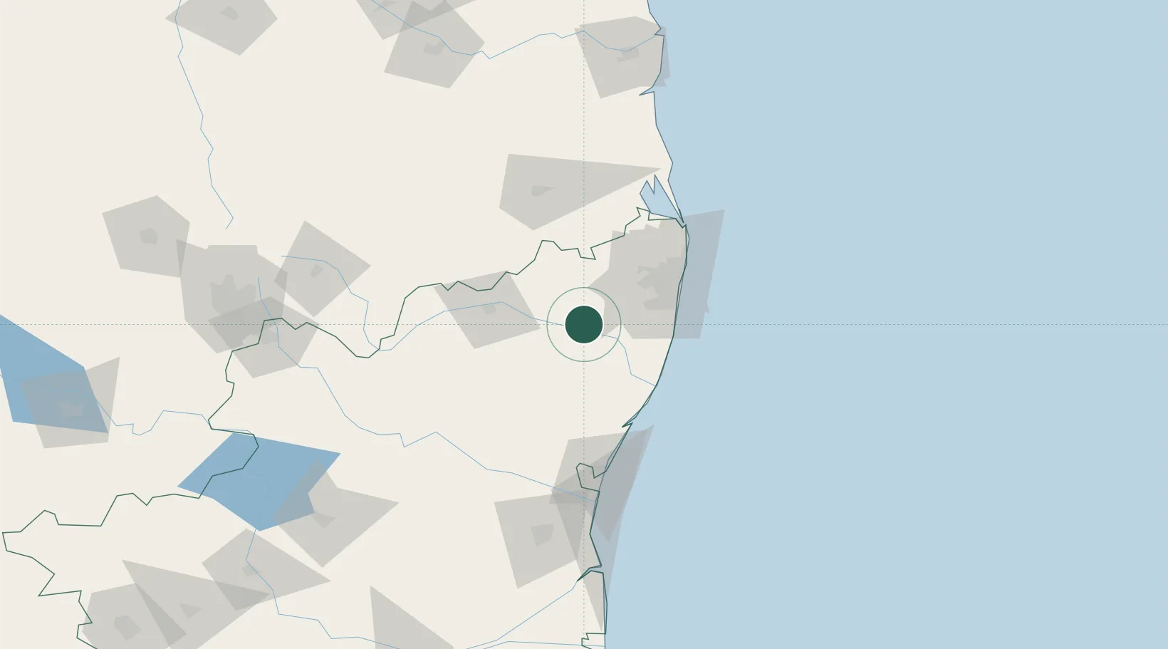
Nearby Logistics Neighbours

Cities
  1. 1FIPL SEZ/Kancheepuram0 km
  2. 2ETA SEZ/Kancheepuram0 km
  3. 3AEIP SEZ/Kancheepuram0 km
  4. 4DLFC SEZ/Kancheepuram0 km
  5. 5ECTN SEZ/Kancheepuram0 km
Nearest neighbours — logibook spatial index (haversine) over the source coordinates
Ports
  1. 1Chennai (Madras)70 km
  2. 2Kamarajar Port83 km
  3. 3Pondicherry101 km
  4. 4Cuddalore124 km
  5. 5Kattupalli Port164 km
Nearest neighbours — logibook spatial index (haversine) over the source coordinates
Airports
  1. 1Chennai International Airport52 km
  2. 2Tirupati International Airport91 km
  3. 3Pondicherry Airport97 km
  4. 4Kadapa Airport213 km
  5. 5Salem Airport214 km
Nearest neighbours — logibook spatial index (haversine) over the source coordinates
Trade Zones
  1. 1Flextronics Technologies (India) Private Limited22 km
  2. 2Mahindra City Special Economic Zone34 km
  3. 3MEPZ Special Economic Zone45 km
  4. 4DLF Info City54 km
  5. 5L & T Shipbuilding54 km
Nearest neighbours — logibook spatial index (haversine) over the source coordinates
DatabookThe Record of Consolidated Knowledge
India beyond logistics?
Browse databook

All Sources

LocationsUN/LOCODE
UN/LOCODE — free
Portsthe NGA World Port Index
Public domain (US gov)
AirportsOurAirports
Public domain
Trade Zonesthe World Bank SEZ database
CC BY 4.0
Trade ZonesOpen Zone Map
CC BY
← India locations