UN/LOCODE hub · India
INJUX

Basni

26.2333°, 73.0167°
3
Transport functions

Transport Functions

Rail
Road
Multimodal
UN/LOCODE

Hub Profile

Place type
Populated place
GeoNames
Region
Rajasthan
GeoNames
Time zone
Asia/Kolkata
GeoNames
Elevation
210 m
GeoNames

Location

Location of INJUX
Natural Earth 10m (public domain) · Rajasthan · INJUX · 26.23, 73.02GoogleOSMYandex

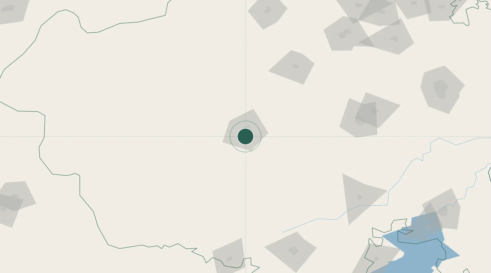
Nearby Logistics Neighbours

Cities
  1. 1Jodhpur3 km
  2. 2Boranada, Jodhpur15 km
  3. 3Borawar187 km
  4. 4Abu Road196 km
  5. 5Bikaner200 km
Nearest neighbours — logibook spatial index (haversine) over the source coordinates
Ports
  1. 1Navlakhi447 km
  2. 2Kandla455 km
  3. 3Bhavnagar503 km
  4. 4Bedi506 km
  5. 5Dahej507 km
Nearest neighbours — logibook spatial index (haversine) over the source coordinates
Airports
  1. 1Jodhpur Airport4 km
  2. 2Kishangarh Airport Ajmer183 km
  3. 3Maharana Pratap Airport200 km
  4. 4Nal Airport205 km
  5. 5Jaisalmer Airport226 km
Nearest neighbours — logibook spatial index (haversine) over the source coordinates
Trade Zones
  1. 1Jaipur Special Economic Zone269 km
  2. 2Mahindra Special Economic Zone269 km
  3. 3Mahindra World City (Jaipur) Ltd.269 km
  4. 4Tata Consultancy Services Ltd, Gandhinagar.340 km
  5. 5Gift Multi Service SEZ344 km
Nearest neighbours — logibook spatial index (haversine) over the source coordinates
DatabookThe Record of Consolidated Knowledge
India beyond logistics?
Browse databook

All Sources

LocationsUN/LOCODE
UN/LOCODE — free
Portsthe NGA World Port Index
Public domain (US gov)
AirportsOurAirports
Public domain
Trade Zonesthe World Bank SEZ database
CC BY 4.0
Trade ZonesOpen Zone Map
CC BY
← India locations