Specialized Zone · India

International Specialized Zone (Bio-Tech) Park Limited. Active
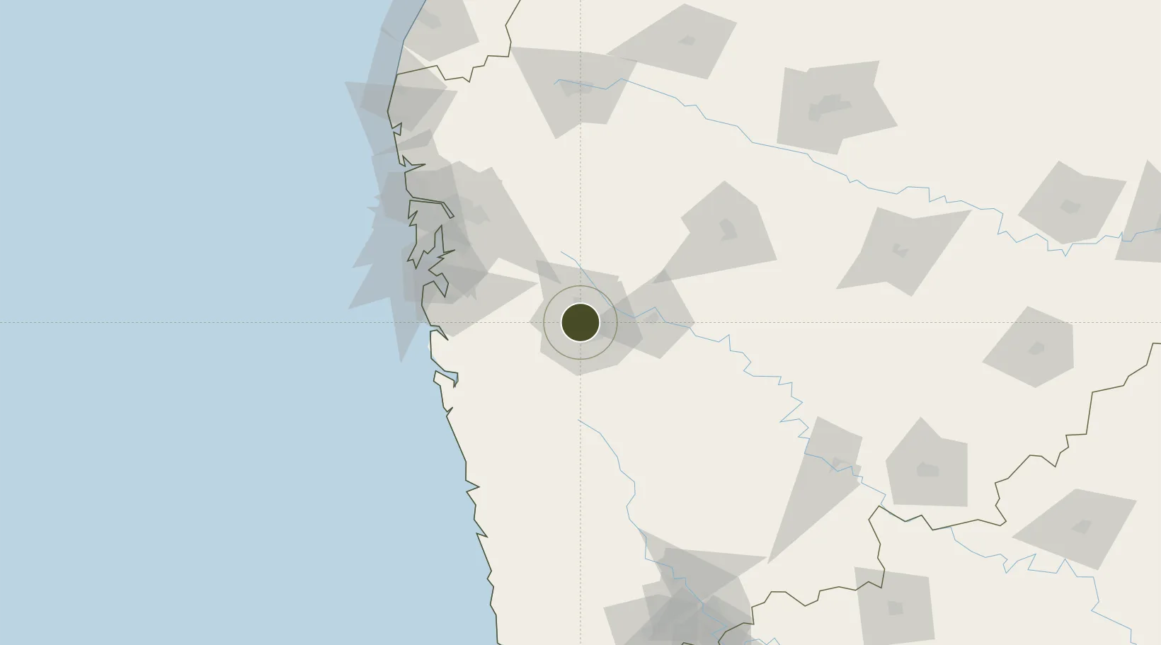
18.5775°, 73.8129°
13 ha
Zone area
99.8 km
Nearest port
11.3 km
Nearest airport

Gateway access

Nearest neighbours — logibook spatial index (haversine) over the source coordinates

Zone profile

Zone type
Specialized Zone
Open Zone Map
Specialization
Biotech
Open Zone Map
Region
Maharashtra
Open Zone Map
Status
Active
Open Zone Map
Management
Private
Open Zone Map
Operator
Joint Venture Between TCG Real Estate and Maharashtra Industrial Development Corporation
Open Zone Map
Legal framework
Maharashtra Special Economic Zone Policy,The Special Economic Zones Act, 2005
Open Zone Map

Location

Location of ozm-2164
Natural Earth 10m (public domain) · Maharashtra · ozm-2164 · 18.58, 73.81GoogleOSMYandex

Nearby Logistics Neighbours

Ports
  1. 1Jawaharlal Nehru Port (Nhava Shiva)100 km
  2. 2Mumbai (Bombay)109 km
  3. 3Port Dabhol130 km
  4. 4Jaigarh Bay155 km
  5. 5Ratnagiri186 km
Nearest neighbours — logibook spatial index (haversine) over the source coordinates
Airports
  1. 1Pune International Airport11 km
  2. 2Navi Mumbai International Airport91 km
  3. 3Baramati Airport91 km
  4. 4Chhatrapati Shivaji Maharaj International Airport115 km
  5. 5Shirdi International Airport137 km
Nearest neighbours — logibook spatial index (haversine) over the source coordinates
Cities
  1. 1Chinchwad Station7 km
  2. 2EKIPL SEZ/Pune8 km
  3. 3ITL SEZ/Pune8 km
  4. 4MTDCCL SEZ/Pune8 km
  5. 5BTSL SEZ/Pune8 km
Nearest neighbours — logibook spatial index (haversine) over the source coordinates
DatabookThe Record of Consolidated Knowledge
India beyond logistics?
Browse databook

All Sources

Trade ZonesOpen Zone Map
CC BY
Portsthe NGA World Port Index
Public domain (US gov)
AirportsOurAirports
Public domain
LocationsUN/LOCODE
UN/LOCODE — free
← India trade zones