Transport Functions
Multimodal
Hub Profile
Region
MH
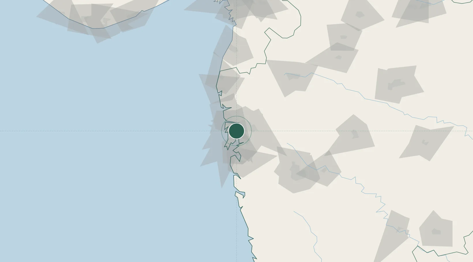
Location
Nearby Logistics Neighbours
Cities
- 1IGGSL SEZ/Thane3 km
- 2SPPL SEZ/Thane3 km
- 3SCPL SEZ/Mulund3 km
- 4Thane3 km
- 5Mulund3 km
Ports
- 1Mumbai (Bombay)26 km
- 2Jawaharlal Nehru Port (Nhava Shiva)26 km
- 3Port Dabhol179 km
- 4Jaigarh Bay211 km
- 5Hazira214 km
Airports
DatabookThe Record of Consolidated Knowledge
India beyond logistics?