Transport Functions
Rail
Road
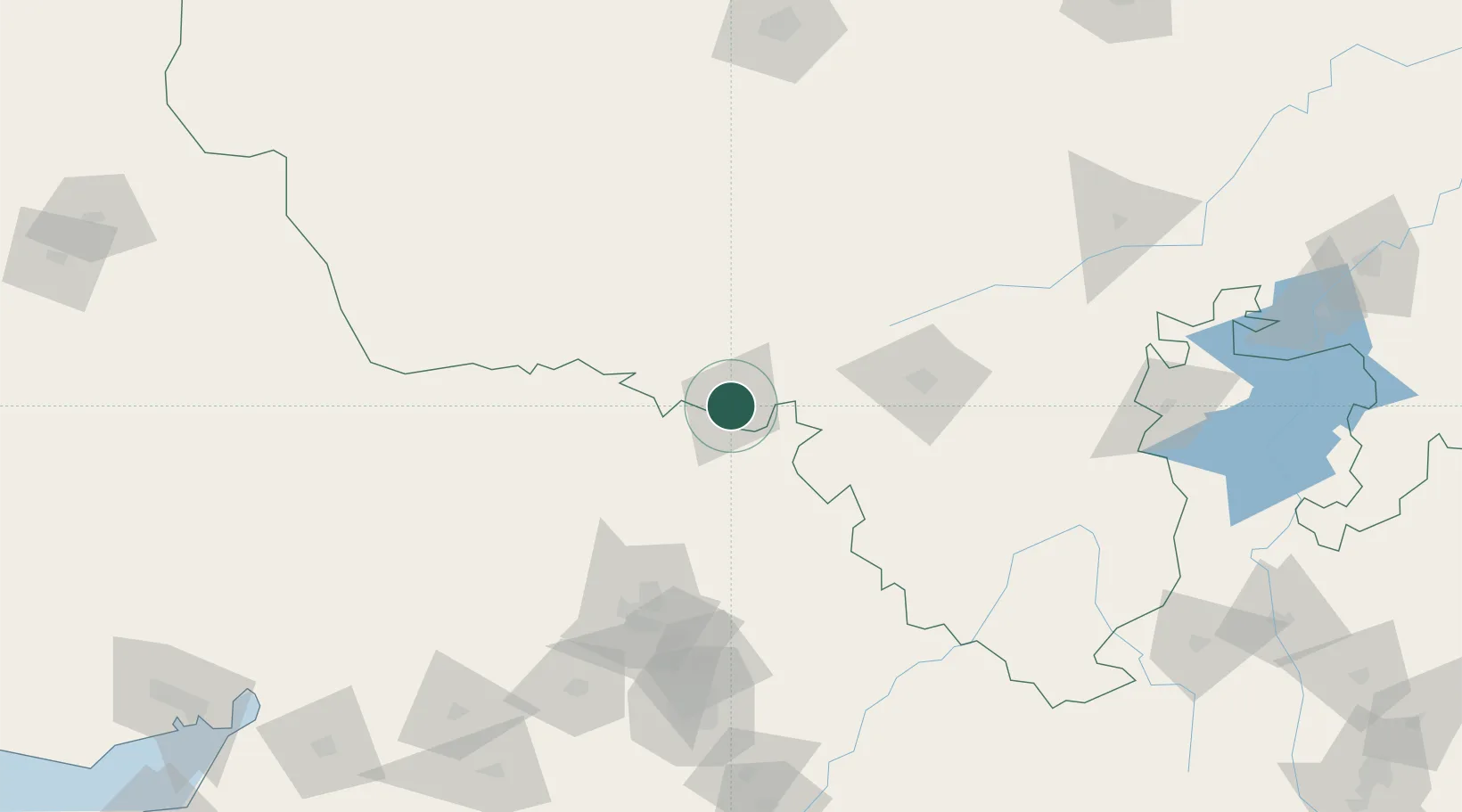
Hub Profile
Place type
Populated place
Region
Rajasthan
Population
55,599
Time zone
Asia/Kolkata
Elevation
263 m
Location
Nearby Logistics Neighbours
Cities
- 1Himatnagar100 km
- 2Vijapur102 km
- 3Chanasma109 km
- 4Prantij117 km
- 5Gandhinagar141 km
Airports
Trade Zones
DatabookThe Record of Consolidated Knowledge
India beyond logistics?