Transport Functions
Multimodal
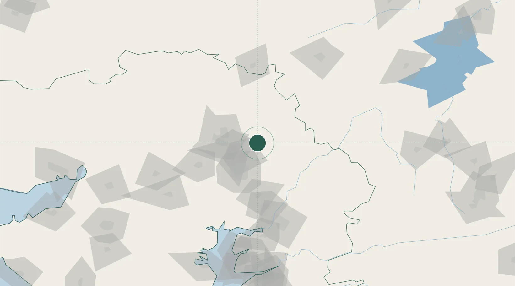
Hub Profile
Place type
Populated place
Region
Gujarat
Population
23,596
Time zone
Asia/Kolkata
Elevation
111 m
Location
Nearby Logistics Neighbours
Cities
- 1Vijapur18 km
- 2Himatnagar21 km
- 3Gandhinagar30 km
- 4Gidc-SEZ/Gandhinagar30 km
- 5Srehpl-SEZ/Gandhinagar30 km
Airports
Trade Zones
DatabookThe Record of Consolidated Knowledge
India beyond logistics?