Transport Functions
Rail
Road
Hub Profile
Place type
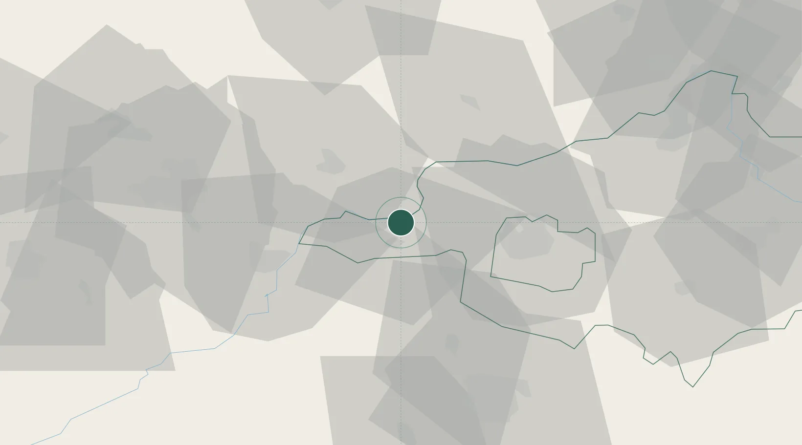
Populated place
Region
Szabolcs-Szatmár-Bereg
Population
6,122
Time zone
Europe/Budapest
Elevation
93 m
Location
Nearby Logistics Neighbours
Cities
- 1Szorgalmatos6 km
- 2Tokaj11 km
- 3Tarcal13 km
- 4Mezozombor17 km
- 5Polgar26 km
Ports
- 1Braila590 km
- 2Senj600 km
- 3Bakar604 km
- 4Omisalj607 km
- 5Rijeka Luka608 km
Airports
Trade Zones
DatabookThe Record of Consolidated Knowledge
Hungary beyond logistics?