Transport Functions
Port
Road
Hub Profile
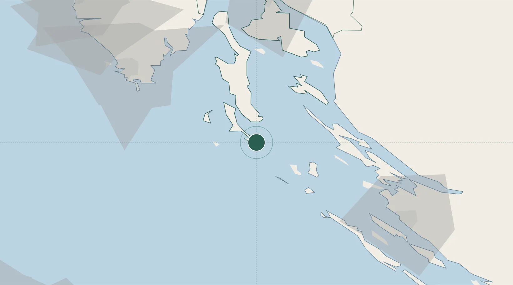
Place type
Populated place
Region
Primorje-Gorski Kotar
Population
857
Time zone
Europe/Zagreb
Elevation
23 m
Location
Nearby Logistics Neighbours
Cities
- 1Mali Losinj3 km
- 2Susak16 km
- 3Nerezine19 km
- 4Silba23 km
- 5Unije25 km
Ports
- 1Senj61 km
- 2Zaliv Rasa69 km
- 3Pula69 km
- 4Zadar72 km
- 5Omisalj78 km
Airports
- 1Pula Airport62 km
- 2Rijeka Airport78 km
- 3Zadar Airport82 km
- 4Udbina Airfield101 km
- 5Portorož Airport127 km
Trade Zones
- 1Port of Pula Free Zone65 km
- 2Port of Rijeka Free Zone78 km
- 3Free Zone Kukuljanovo91 km
- 4Free Port of Trieste139 km
- 5PJ Free Zone Zagreb179 km
DatabookThe Record of Consolidated Knowledge
Croatia beyond logistics?