Transport Functions
Port
Road
Hub Profile
Place type
Populated place
Region
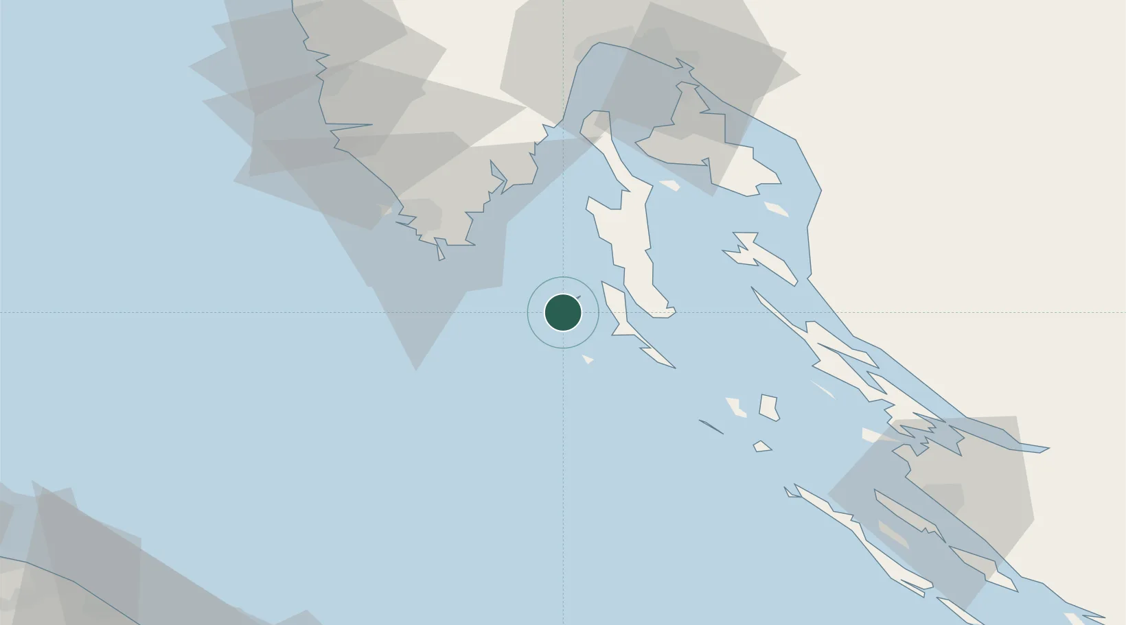
Primorje-Gorski Kotar
Population
66
Time zone
Europe/Zagreb
Elevation
0 m
Location
Nearby Logistics Neighbours
Cities
- 1Nerezine14 km
- 2Susak14 km
- 3Mali Losinj22 km
- 4Veli Losinj25 km
- 5Martinscica25 km
Ports
- 1Pula44 km
- 2Zaliv Rasa48 km
- 3Senj65 km
- 4Rovinj69 km
- 5Omisalj70 km
Airports
- 1Pula Airport38 km
- 2Rijeka Airport70 km
- 3Portorož Airport105 km
- 4Zadar Airport107 km
- 5Udbina Airfield122 km
Trade Zones
- 1Port of Pula Free Zone41 km
- 2Port of Rijeka Free Zone62 km
- 3Free Zone Kukuljanovo81 km
- 4Free Port of Trieste119 km
- 5Free Port of Venice175 km
DatabookThe Record of Consolidated Knowledge
Croatia beyond logistics?