Transport Functions
Port
Road
Hub Profile
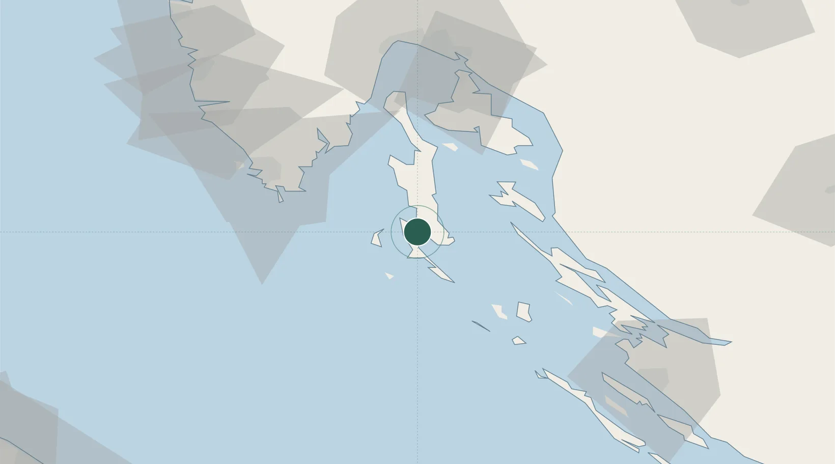
Place type
Populated place
Region
Primorje-Gorski Kotar
Population
397
Time zone
Europe/Zagreb
Elevation
28 m
Location
Nearby Logistics Neighbours
Cities
- 1Unije14 km
- 2Mali Losinj16 km
- 3Martinscica17 km
- 4Susak19 km
- 5Veli Losinj19 km
Ports
- 1Zaliv Rasa50 km
- 2Senj53 km
- 3Pula53 km
- 4Omisalj62 km
- 5Bakar71 km
Airports
- 1Pula Airport45 km
- 2Rijeka Airport63 km
- 3Zadar Airport99 km
- 4Portorož Airport109 km
- 5Udbina Airfield110 km
Trade Zones
- 1Port of Pula Free Zone50 km
- 2Port of Rijeka Free Zone60 km
- 3Free Zone Kukuljanovo75 km
- 4Free Port of Trieste120 km
- 5PJ Free Zone Zagreb171 km
DatabookThe Record of Consolidated Knowledge
Croatia beyond logistics?