Transport Functions
Port
Hub Profile
Place type
Populated place
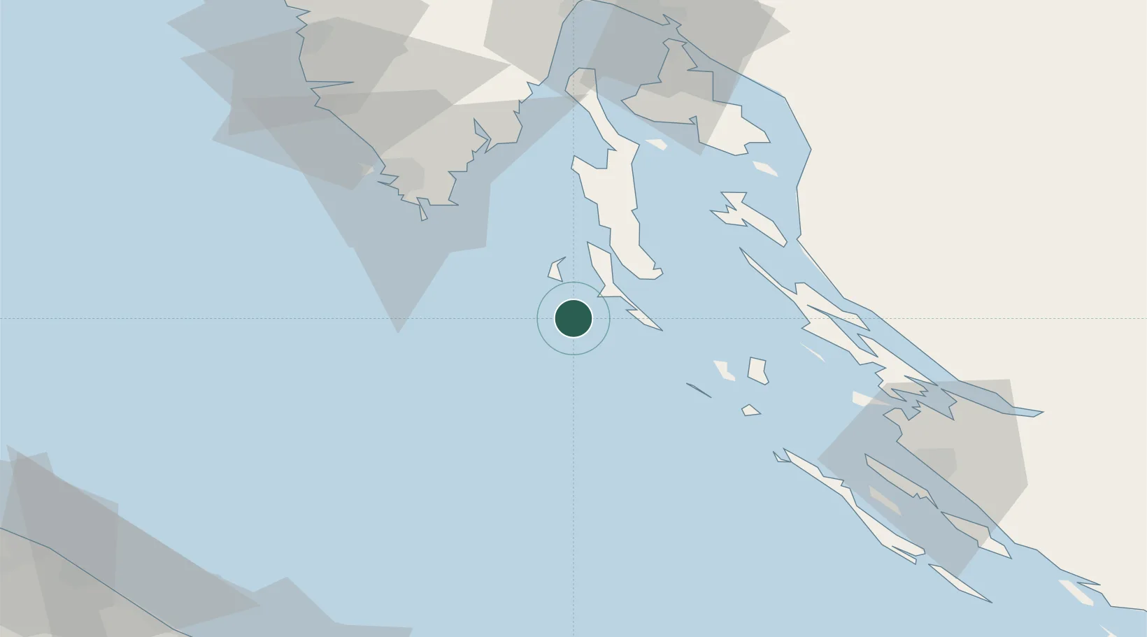
Region
Primorje-Gorski Kotar
Population
139
Time zone
Europe/Zagreb
Elevation
1 m
Location
Nearby Logistics Neighbours
Cities
- 1Mali Losinj13 km
- 2Unije14 km
- 3Veli Losinj16 km
- 4Nerezine19 km
- 5Martinscica35 km
Ports
- 1Pula57 km
- 2Zaliv Rasa62 km
- 3Senj70 km
- 4Omisalj80 km
- 5Rovinj82 km
Airports
- 1Pula Airport52 km
- 2Rijeka Airport81 km
- 3Zadar Airport96 km
- 4Udbina Airfield117 km
- 5Portorož Airport119 km
Trade Zones
- 1Port of Pula Free Zone53 km
- 2Port of Rijeka Free Zone75 km
- 3Free Zone Kukuljanovo93 km
- 4Free Port of Trieste133 km
- 5Free Port of Venice187 km
DatabookThe Record of Consolidated Knowledge
Croatia beyond logistics?