Transport Functions
Port
Road
Airport
Hub Profile
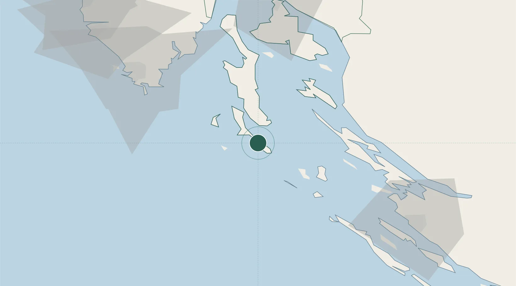
Place type
Provincial seat
Region
Primorje-Gorski Kotar
Population
5,561
Time zone
Europe/Zagreb
Elevation
14 m
Location
Nearby Logistics Neighbours
Cities
- 1Veli Losinj3 km
- 2Susak13 km
- 3Nerezine16 km
- 4Unije22 km
- 5Silba26 km
Ports
- 1Senj61 km
- 2Pula66 km
- 3Zaliv Rasa66 km
- 4Zadar76 km
- 5Omisalj76 km
Airports
- 1Pula Airport59 km
- 2Rijeka Airport76 km
- 3Zadar Airport86 km
- 4Udbina Airfield104 km
- 5Portorož Airport124 km
Trade Zones
- 1Port of Pula Free Zone62 km
- 2Port of Rijeka Free Zone75 km
- 3Free Zone Kukuljanovo89 km
- 4Free Port of Trieste136 km
- 5PJ Free Zone Zagreb179 km
DatabookThe Record of Consolidated Knowledge
Croatia beyond logistics?