UN/LOCODE hub · Croatia
HRVGO

Velika Gorica

45.7000°, 16.0667°
30,036
Population
2
Transport functions

Transport Functions

Rail
Road
UN/LOCODE

Hub Profile

Place type
Provincial seat
GeoNames
Region
Zagreb County
GeoNames
Population
30,036
GeoNames
Time zone
Europe/Zagreb
GeoNames
Elevation
107 m
GeoNames

Location

Location of HRVGO
Natural Earth 10m (public domain) · Zagreb County · HRVGO · 45.70, 16.07GoogleOSMYandex

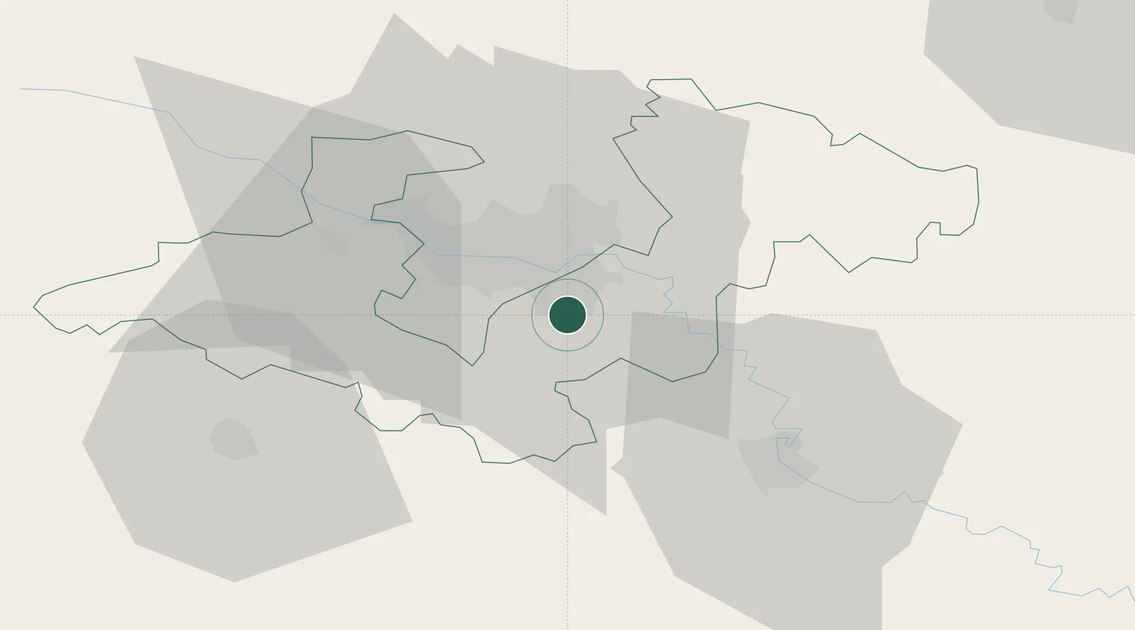
Nearby Logistics Neighbours

Cities
  1. 1Velika Mlaka5 km
  2. 2Rugvica14 km
  3. 3Hrvatski Leskovac14 km
  4. 4Dugo Sela16 km
  5. 5Zagreb18 km
Nearest neighbours — logibook spatial index (haversine) over the source coordinates
Ports
  1. 1Senj121 km
  2. 2Bakar128 km
  3. 3Omisalj130 km
  4. 4Rijeka Luka134 km
  5. 5Zaliv Rasa172 km
Nearest neighbours — logibook spatial index (haversine) over the source coordinates
Airports
  1. 1Zagreb Franjo Tuđman International Airport5 km
  2. 2Cerklje ob Krki Air Base47 km
  3. 3Maribor Edvard Rusjan Airport92 km
  4. 4Banja Luka International Airport128 km
  5. 5Rijeka Airport129 km
Nearest neighbours — logibook spatial index (haversine) over the source coordinates
Trade Zones
  1. 1PJ Free Zone Zagreb18 km
  2. 2Krapina-Zagorje Free Zone52 km
  3. 3Sjever Free Zone69 km
  4. 4Free Zone Kukuljanovo128 km
  5. 5Port of Rijeka Free Zone152 km
Nearest neighbours — logibook spatial index (haversine) over the source coordinates
DatabookThe Record of Consolidated Knowledge
Croatia beyond logistics?
Browse databook

All Sources

LocationsUN/LOCODE
UN/LOCODE — free
LocationsGeoNames
CC BY 4.0
Portsthe NGA World Port Index
Public domain (US gov)
AirportsOurAirports
Public domain
Trade Zonesthe World Bank SEZ database
CC BY 4.0
Trade ZonesOpen Zone Map
CC BY
← Croatia locations