Transport Functions
Rail
Road
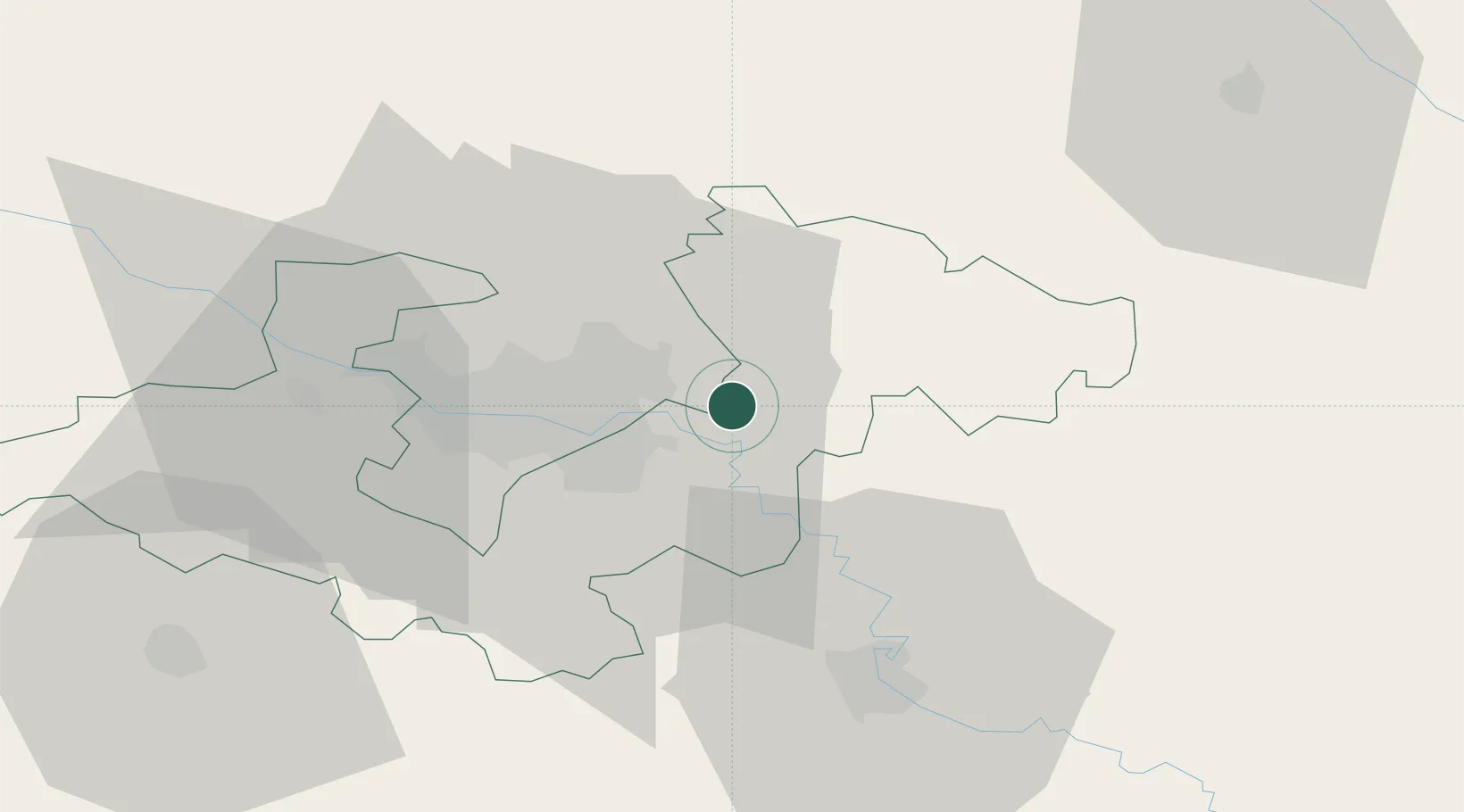
Location
Nearby Logistics Neighbours
Cities
- 1Rugvica8 km
- 2Velika Gorica16 km
- 3Ivanic-Grad17 km
- 4Velika Mlaka17 km
- 5Vrbovec18 km
Ports
- 1Senj137 km
- 2Bakar142 km
- 3Omisalj145 km
- 4Rijeka Luka148 km
- 5Zaliv Rasa187 km
Airports
Trade Zones
- 1PJ Free Zone Zagreb26 km
- 2Krapina-Zagorje Free Zone47 km
- 3Sjever Free Zone55 km
- 4Free Zone Kukuljanovo142 km
- 5Duro Daković Free Zone156 km
DatabookThe Record of Consolidated Knowledge
Croatia beyond logistics?