Transport Functions
Rail
Road
Airport
Postal
Hub Profile
Place type
National capital
Region
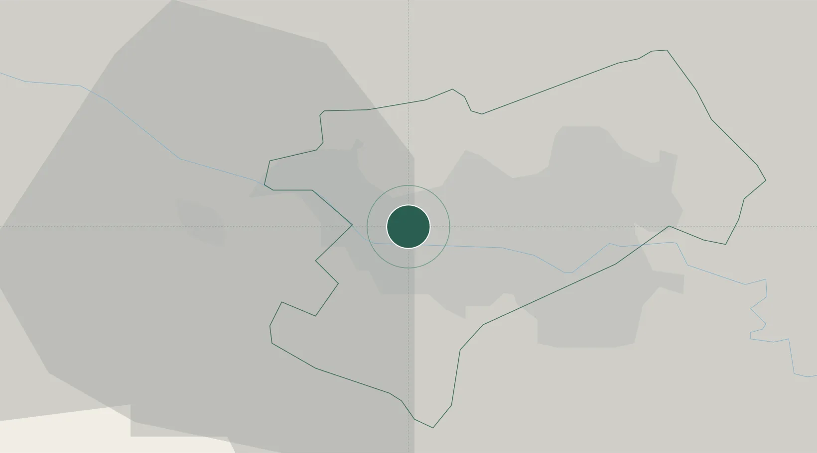
Zagreb
Population
663,592
Time zone
Europe/Zagreb
Elevation
135 m
Logistics facilities
4
Location
Nearby Logistics Neighbours
Cities
- 1Gornji Stupnik6 km
- 2Bestovje6 km
- 3Hrvatski Leskovac7 km
- 4Sveta Nedjelja9 km
- 5Kalinovica10 km
Ports
- 1Senj120 km
- 2Bakar120 km
- 3Omisalj124 km
- 4Rijeka Luka126 km
- 5Zaliv Rasa166 km
Airports
Trade Zones
- 1PJ Free Zone Zagreb2 km
- 2Krapina-Zagorje Free Zone38 km
- 3Sjever Free Zone64 km
- 4Free Zone Kukuljanovo120 km
- 5Port of Rijeka Free Zone145 km
DatabookThe Record of Consolidated Knowledge
Croatia beyond logistics?