UN/LOCODE hub · Croatia
HRHLE
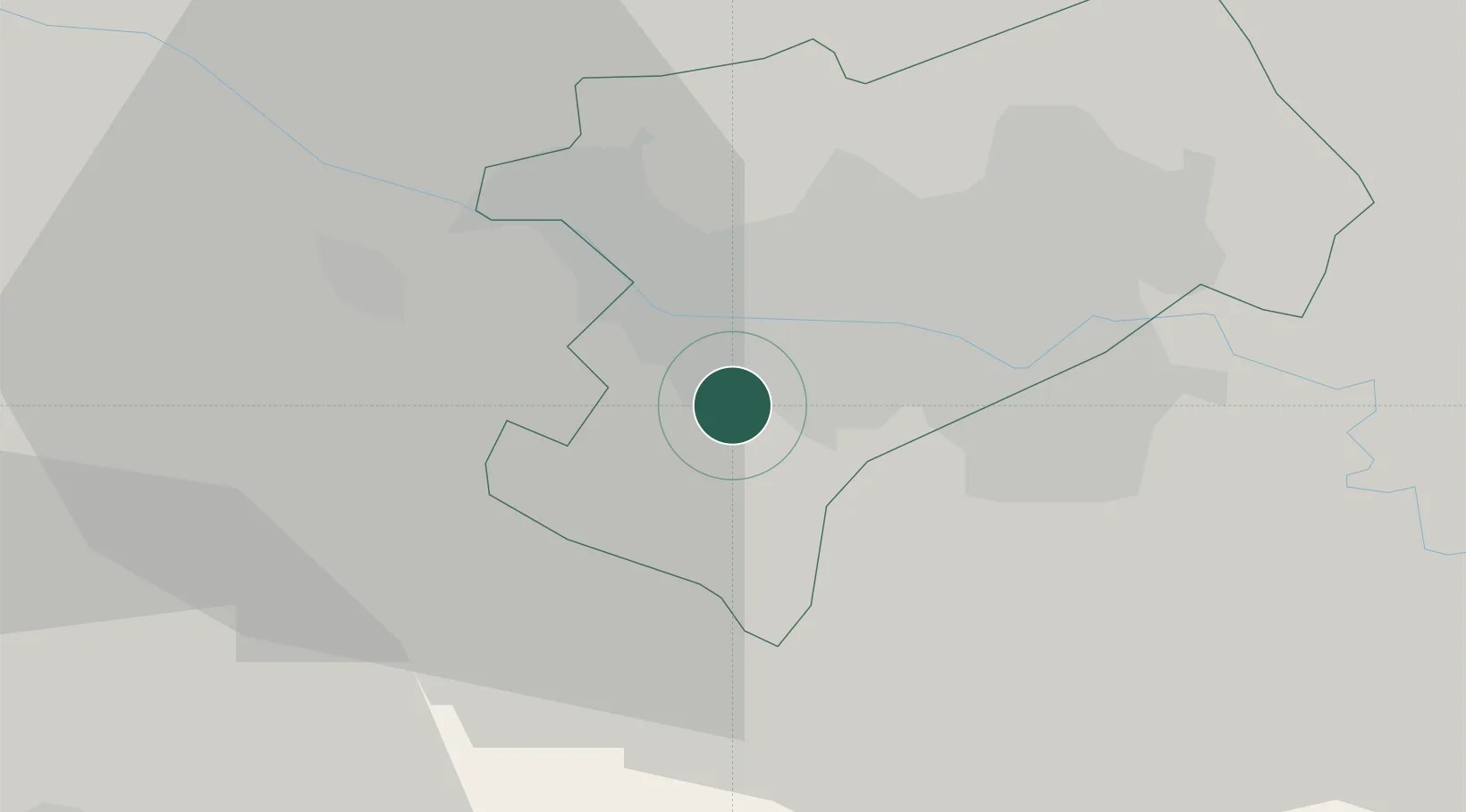
Hrvatski Leskovac
45.7457°, 15.8977°
2,659
Population
2
Transport functions
Transport Functions
Rail
Road
Hub Profile
Place type
Populated place
Region
Zagreb
Population
2,659
Time zone
Europe/Zagreb
Elevation
118 m
Logistics facilities
1
Location
Nearby Logistics Neighbours
Cities
- 1Gornji Stupnik4 km
- 2Zagreb7 km
- 3Bestovje9 km
- 4Kalinovica9 km
- 5Velika Mlaka9 km
Ports
- 1Senj115 km
- 2Bakar117 km
- 3Omisalj120 km
- 4Rijeka Luka123 km
- 5Zaliv Rasa163 km
Airports
Trade Zones
- 1PJ Free Zone Zagreb6 km
- 2Krapina-Zagorje Free Zone45 km
- 3Sjever Free Zone70 km
- 4Free Zone Kukuljanovo117 km
- 5Port of Rijeka Free Zone142 km
DatabookThe Record of Consolidated Knowledge
Croatia beyond logistics?