Transport Functions
Port
Road
Hub Profile
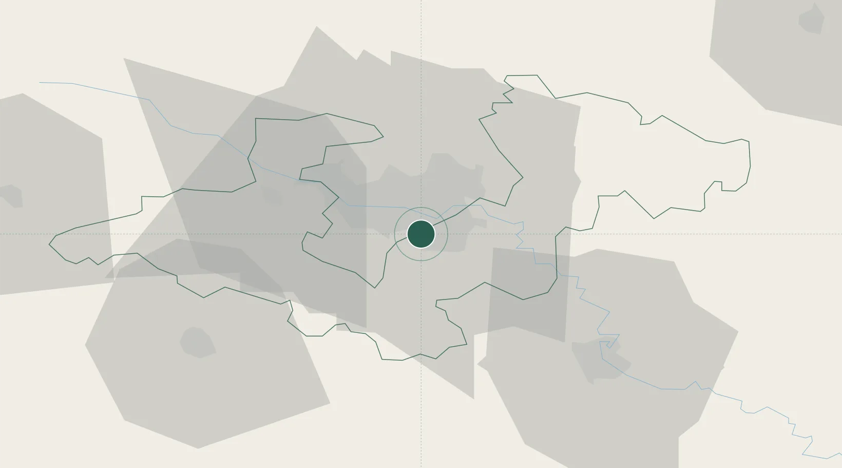
Place type
Populated place
Region
Zagreb County
Population
3,395
Time zone
Europe/Zagreb
Elevation
110 m
Location
Nearby Logistics Neighbours
Cities
- 1Velika Gorica5 km
- 2Hrvatski Leskovac9 km
- 3Zagreb12 km
- 4Gornji Stupnik14 km
- 5Rugvica17 km
Ports
- 1Senj121 km
- 2Bakar125 km
- 3Omisalj128 km
- 4Rijeka Luka131 km
- 5Zaliv Rasa170 km
Airports
- 1Zagreb Franjo Tuđman International Airport4 km
- 2Cerklje ob Krki Air Base42 km
- 3Maribor Edvard Rusjan Airport87 km
- 4Rijeka Airport127 km
- 5Udbina Airfield132 km
Trade Zones
- 1PJ Free Zone Zagreb13 km
- 2Krapina-Zagorje Free Zone48 km
- 3Sjever Free Zone67 km
- 4Free Zone Kukuljanovo125 km
- 5Port of Rijeka Free Zone150 km
DatabookThe Record of Consolidated Knowledge
Croatia beyond logistics?