Transport Functions
Port
Road
Hub Profile
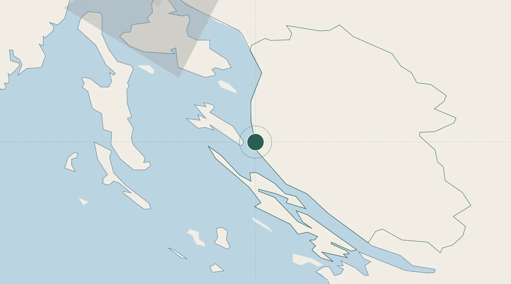
Place type
Populated place
Region
Lika-Senj
Population
53
Time zone
Europe/Zagreb
Elevation
10 m
Location
Nearby Logistics Neighbours
Ports
- 1Senj30 km
- 2Omisalj62 km
- 3Bakar71 km
- 4Zadar71 km
- 5Zaliv Rasa75 km
Airports
- 1Rijeka Airport61 km
- 2Udbina Airfield71 km
- 3Zadar Airport78 km
- 4Pula Airport80 km
- 5Portorož Airport131 km
Trade Zones
- 1Port of Rijeka Free Zone73 km
- 2Free Zone Kukuljanovo75 km
- 3Port of Pula Free Zone86 km
- 4Free Port of Trieste137 km
- 5PJ Free Zone Zagreb143 km
DatabookThe Record of Consolidated Knowledge
Croatia beyond logistics?