Transport Functions
Port
Road
Hub Profile
Place type
Urban district
Region
Primorje-Gorski Kotar
Time zone
Europe/Zagreb
Elevation
80 m
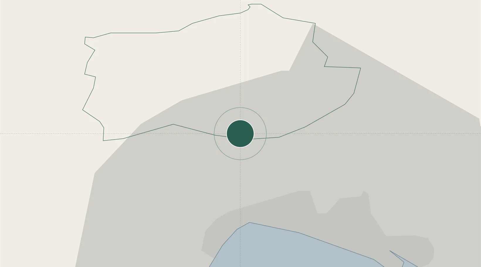
Location
Nearby Logistics Neighbours
Cities
- 1Ilirska Bistrica11 km
- 2Podgrad14 km
- 3Opatija17 km
- 4Rijeka21 km
- 5Pivka24 km
Ports
- 1Rijeka Luka19 km
- 2Bakar27 km
- 3Omisalj35 km
- 4Muggia45 km
- 5Koper46 km
Airports
- 1Rijeka Airport36 km
- 2Portorož Airport55 km
- 3Pula Airport73 km
- 4Trieste Airport76 km
- 5Ljubljana Jože Pučnik Airport83 km
Trade Zones
- 1Free Zone Kukuljanovo22 km
- 2Port of Rijeka Free Zone33 km
- 3Free Port of Trieste48 km
- 4Port of Pula Free Zone79 km
- 5PJ Free Zone Zagreb126 km
DatabookThe Record of Consolidated Knowledge
Croatia beyond logistics?