UN/LOCODE hub · Croatia
HRRJK
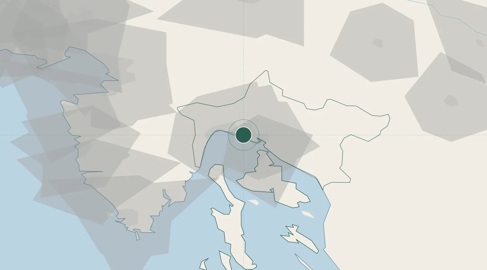
Rijeka
45.3270°, 14.4640°
107,964
Population
4
Transport functions
1
Container terminals
Transport Functions
Port
Rail
Road
Airport
Hub Profile
Place type
Regional capital
Region
Primorje-Gorski Kotar
Population
107,964
Time zone
Europe/Zagreb
Elevation
12 m
Logistics facilities
10
Container terminals
1
Location
Nearby Logistics Neighbours
Cities
- 1Kostrena4 km
- 2Skrljevo4 km
- 3Bakar5 km
- 4Krasica7 km
- 5Kraljevica11 km
Ports
- 1Bakar6 km
- 2Omisalj14 km
- 3Zaliv Rasa44 km
- 4Senj51 km
- 5Koper62 km
Airports
- 1Rijeka Airport15 km
- 2Pula Airport64 km
- 3Portorož Airport68 km
- 4Trieste Airport95 km
- 5Ljubljana Jože Pučnik Airport100 km
Trade Zones
- 1Free Zone Kukuljanovo4 km
- 2Port of Rijeka Free Zone22 km
- 3Free Port of Trieste66 km
- 4Port of Pula Free Zone72 km
- 5PJ Free Zone Zagreb122 km
DatabookThe Record of Consolidated Knowledge
Croatia beyond logistics?