Transport Functions
Port
Road
Hub Profile
Place type
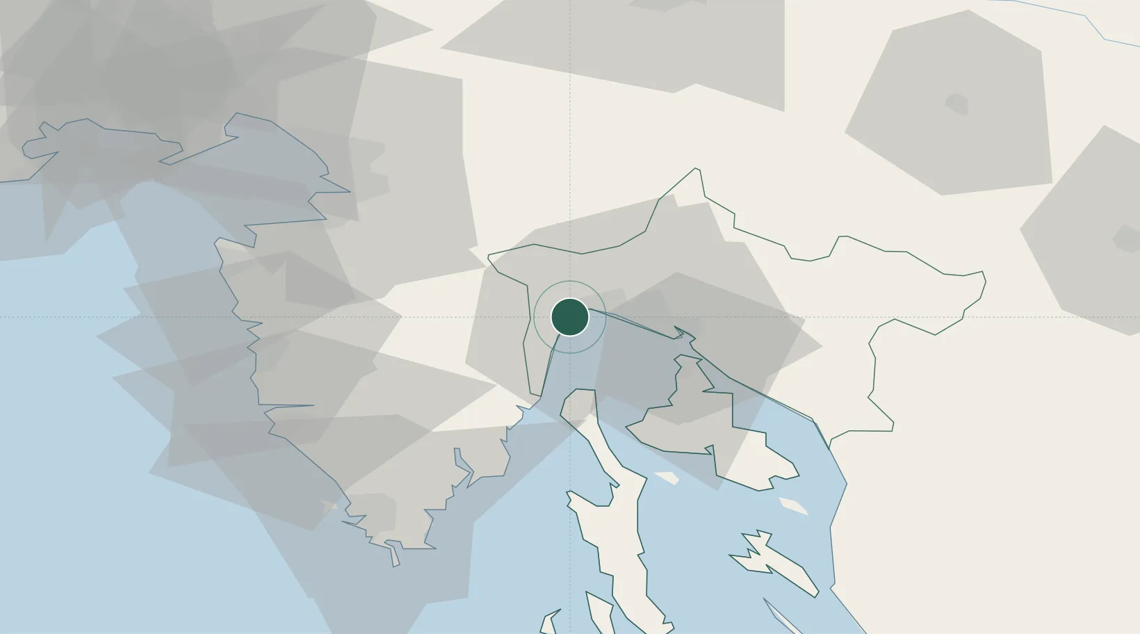
Provincial seat
Region
Primorje-Gorski Kotar
Population
5,701
Time zone
Europe/Zagreb
Elevation
32 m
Location
Nearby Logistics Neighbours
Cities
- 1Moscenicka Draga12 km
- 2Rijeka13 km
- 3Kostrena16 km
- 4Susak17 km
- 5Skrljevo17 km
Ports
- 1Rijeka Luka10 km
- 2Bakar19 km
- 3Omisalj24 km
- 4Zaliv Rasa36 km
- 5Koper50 km
Airports
- 1Rijeka Airport25 km
- 2Portorož Airport56 km
- 3Pula Airport57 km
- 4Trieste Airport85 km
- 5Ljubljana Jože Pučnik Airport100 km
Trade Zones
- 1Port of Rijeka Free Zone16 km
- 2Free Zone Kukuljanovo17 km
- 3Free Port of Trieste55 km
- 4Port of Pula Free Zone64 km
- 5PJ Free Zone Zagreb133 km
DatabookThe Record of Consolidated Knowledge
Croatia beyond logistics?