Transport Functions
Port
Rail
Road
Airport
Hub Profile
Place type
Provincial seat
Region
Istria
Population
52,220
Time zone
Europe/Zagreb
Elevation
11 m
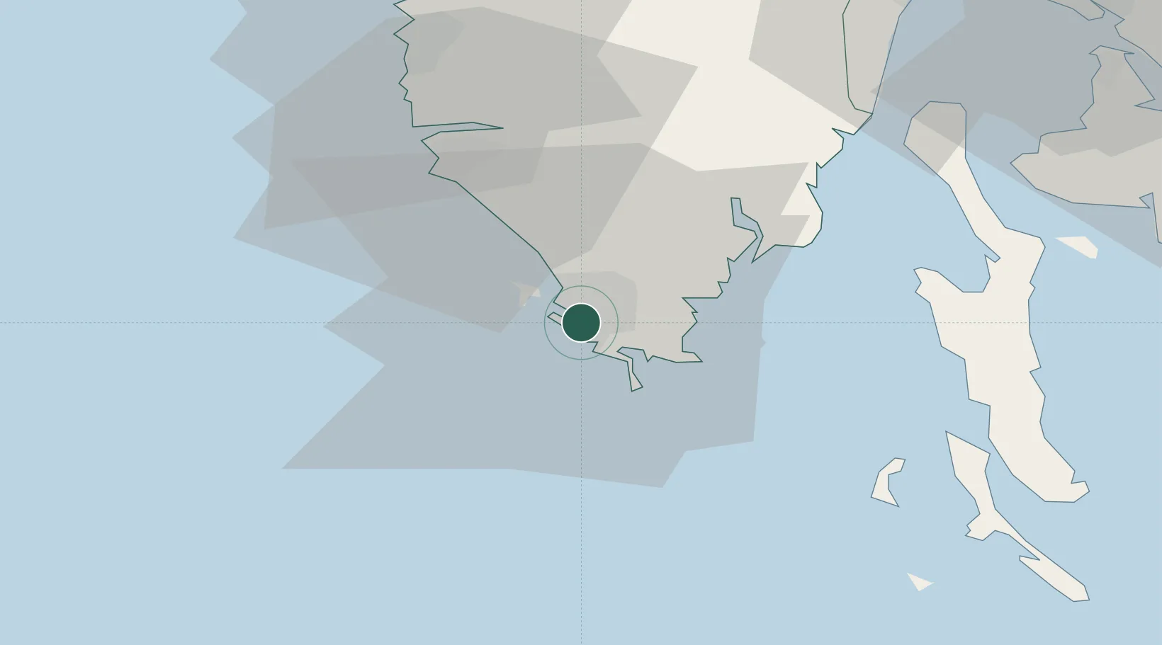
Location
Nearby Logistics Neighbours
Ports
- 1Zaliv Rasa27 km
- 2Rovinj29 km
- 3Umag68 km
- 4Omisalj68 km
- 5Rijeka Luka70 km
Airports
- 1Pula Airport8 km
- 2Portorož Airport69 km
- 3Rijeka Airport70 km
- 4Trieste Airport111 km
- 5Federico Fellini International Airport135 km
Trade Zones
- 1Port of Pula Free Zone0 km
- 2Port of Rijeka Free Zone50 km
- 3Free Zone Kukuljanovo75 km
- 4Free Port of Trieste87 km
- 5Free Port of Venice135 km
DatabookThe Record of Consolidated Knowledge
Croatia beyond logistics?