Transport Functions
Port
Road
Hub Profile
Place type
Provincial seat
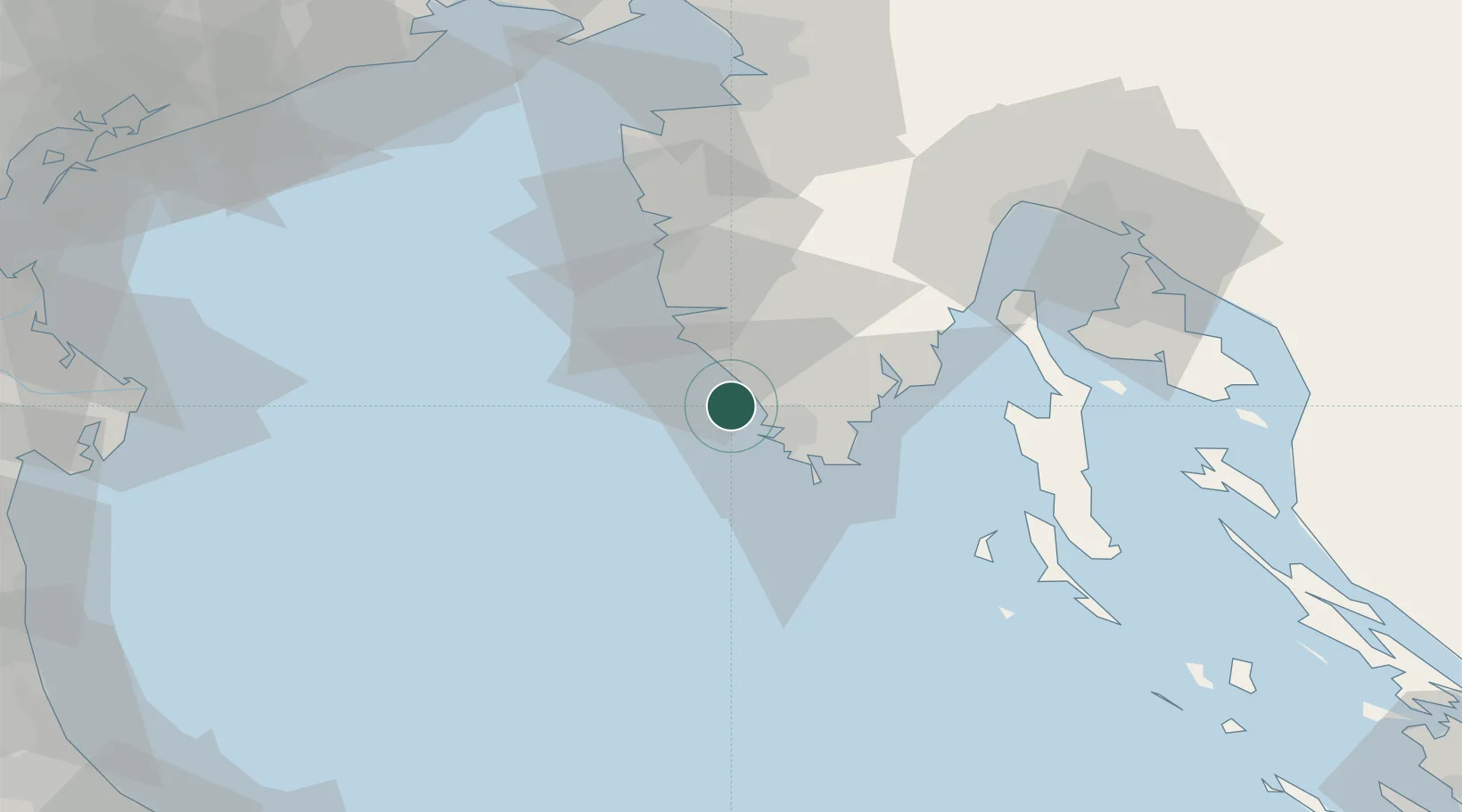
Region
Istria
Population
1,788
Time zone
Europe/Zagreb
Elevation
5 m
Location
Nearby Logistics Neighbours
Ports
- 1Pula8 km
- 2Rovinj18 km
- 3Zaliv Rasa29 km
- 4Umag58 km
- 5Piran68 km
Airports
- 1Pula Airport16 km
- 2Portorož Airport61 km
- 3Rijeka Airport73 km
- 4Trieste Airport102 km
- 5Venice Marco Polo Airport126 km
Trade Zones
- 1Port of Pula Free Zone11 km
- 2Port of Rijeka Free Zone51 km
- 3Free Zone Kukuljanovo76 km
- 4Free Port of Trieste79 km
- 5Free Port of Venice125 km
DatabookThe Record of Consolidated Knowledge
Croatia beyond logistics?