UN/LOCODE hub · Croatia
HRGLZ

Galizana

44.9167°, 13.8667°
1,620
Population
1
Transport functions

Transport Functions

Multimodal
UN/LOCODE

Hub Profile

Place type
Populated place
GeoNames
Region
Istria
GeoNames
Population
1,620
GeoNames
Time zone
Europe/Zagreb
GeoNames
Elevation
99 m
GeoNames

Location

Location of HRGLZ
Natural Earth 10m (public domain) · Istria · HRGLZ · 44.92, 13.87GoogleOSMYandex

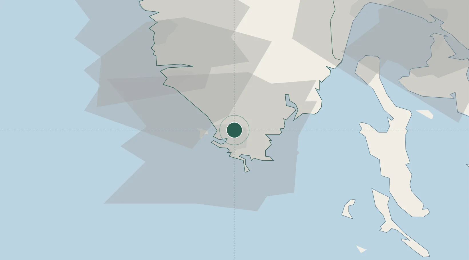
Nearby Logistics Neighbours

Cities
  1. 1Pula6 km
  2. 2Brioni9 km
  3. 3Fazana11 km
  4. 4Tunarica19 km
  5. 5Koromacno20 km
Nearest neighbours — logibook spatial index (haversine) over the source coordinates
Ports
  1. 1Pula6 km
  2. 2Zaliv Rasa22 km
  3. 3Rovinj26 km
  4. 4Omisalj63 km
  5. 5Umag64 km
Nearest neighbours — logibook spatial index (haversine) over the source coordinates
Airports
  1. 1Pula Airport5 km
  2. 2Rijeka Airport65 km
  3. 3Portorož Airport65 km
  4. 4Trieste Airport106 km
  5. 5Udine-Rivolto Air Base134 km
Nearest neighbours — logibook spatial index (haversine) over the source coordinates
Trade Zones
  1. 1Port of Pula Free Zone7 km
  2. 2Port of Rijeka Free Zone44 km
  3. 3Free Zone Kukuljanovo69 km
  4. 4Free Port of Trieste82 km
  5. 5Free Port of Venice135 km
Nearest neighbours — logibook spatial index (haversine) over the source coordinates
DatabookThe Record of Consolidated Knowledge
Croatia beyond logistics?
Browse databook

All Sources

LocationsUN/LOCODE
UN/LOCODE — free
LocationsGeoNames
CC BY 4.0
Portsthe NGA World Port Index
Public domain (US gov)
AirportsOurAirports
Public domain
Trade Zonesthe World Bank SEZ database
CC BY 4.0
Trade ZonesOpen Zone Map
CC BY
← Croatia locations