Transport Functions
Port
Road
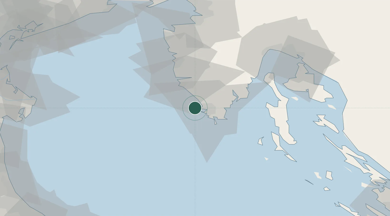
Location
Nearby Logistics Neighbours
Ports
- 1Pula4 km
- 2Rovinj22 km
- 3Zaliv Rasa30 km
- 4Umag62 km
- 5Piran72 km
Airports
- 1Pula Airport14 km
- 2Portorož Airport65 km
- 3Rijeka Airport73 km
- 4Trieste Airport105 km
- 5Venice Marco Polo Airport129 km
Trade Zones
- 1Port of Pula Free Zone8 km
- 2Port of Rijeka Free Zone52 km
- 3Free Zone Kukuljanovo77 km
- 4Free Port of Trieste83 km
- 5Free Port of Venice127 km
DatabookThe Record of Consolidated Knowledge
Croatia beyond logistics?