Transport Functions
Port
Road
Hub Profile
Place type
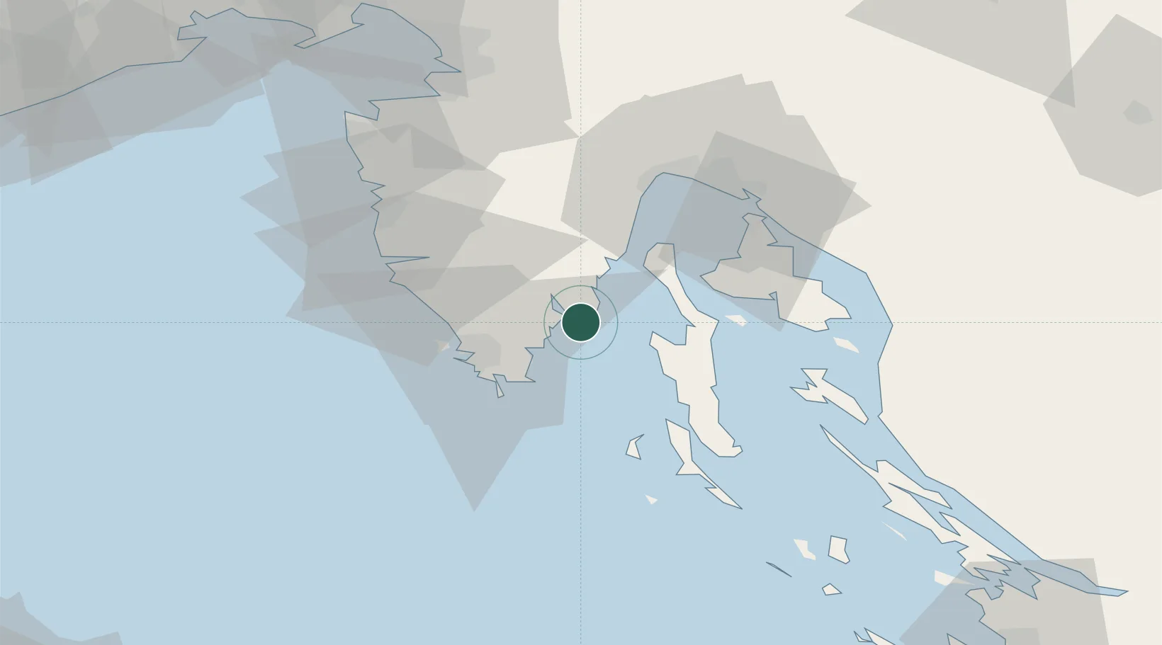
Populated place
Region
Istria
Population
139
Time zone
Europe/Zagreb
Elevation
88 m
Location
Nearby Logistics Neighbours
Ports
- 1Zaliv Rasa10 km
- 2Pula27 km
- 3Rovinj40 km
- 4Omisalj44 km
- 5Rijeka Luka48 km
Airports
- 1Pula Airport17 km
- 2Rijeka Airport45 km
- 3Portorož Airport69 km
- 4Trieste Airport108 km
- 5Zadar Airport138 km
Trade Zones
- 1Port of Pula Free Zone25 km
- 2Port of Rijeka Free Zone28 km
- 3Free Zone Kukuljanovo51 km
- 4Free Port of Trieste81 km
- 5Free Port of Venice151 km
DatabookThe Record of Consolidated Knowledge
Croatia beyond logistics?