Transport Functions
Rail
Road
Hub Profile
Place type
Provincial seat
Region
Zagreb County
Population
4,551
Time zone
Europe/Zagreb
Elevation
128 m
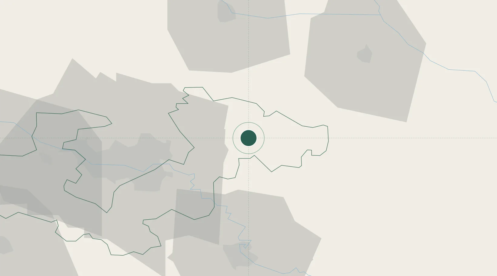
Location
Nearby Logistics Neighbours
Cities
- 1Zelina1 km
- 2Krizevci17 km
- 3Dugo Sela18 km
- 4Ivanic-Grad21 km
- 5Rugvica22 km
Ports
- 1Senj155 km
- 2Bakar160 km
- 3Omisalj163 km
- 4Rijeka Luka166 km
- 5Zaliv Rasa205 km
Airports
Trade Zones
- 1PJ Free Zone Zagreb43 km
- 2Sjever Free Zone46 km
- 3Krapina-Zagorje Free Zone51 km
- 4Duro Daković Free Zone147 km
- 5Free Zone Kukuljanovo160 km
DatabookThe Record of Consolidated Knowledge
Croatia beyond logistics?