Transport Functions
Multimodal
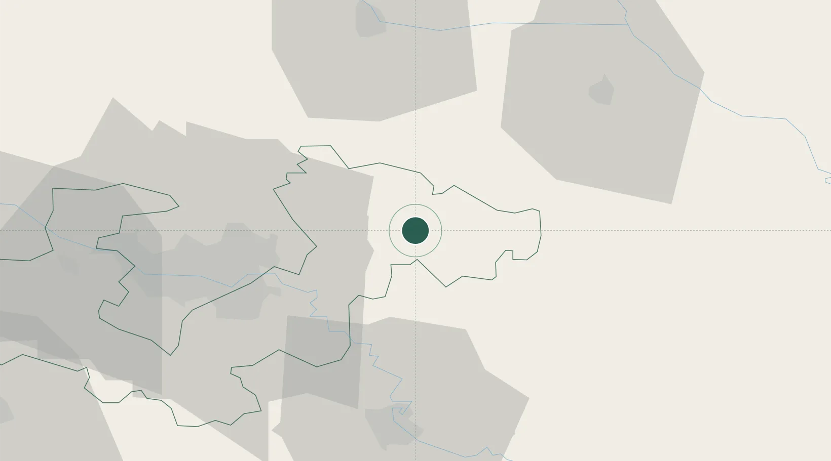
Location
Nearby Logistics Neighbours
Cities
- 1Vrbovec1 km
- 2Krizevci17 km
- 3Dugo Sela19 km
- 4Ivanic-Grad21 km
- 5Rugvica23 km
Ports
- 1Senj156 km
- 2Bakar161 km
- 3Omisalj164 km
- 4Rijeka Luka167 km
- 5Zaliv Rasa207 km
Airports
Trade Zones
- 1PJ Free Zone Zagreb44 km
- 2Sjever Free Zone46 km
- 3Krapina-Zagorje Free Zone52 km
- 4Duro Daković Free Zone146 km
- 5Free Zone Kukuljanovo161 km
DatabookThe Record of Consolidated Knowledge
Croatia beyond logistics?