UN/LOCODE hub · Greece
GRXZX

Elaiokhória

40.3333°, 23.1667°
2
Transport functions

Transport Functions

Port
Road
UN/LOCODE

Hub Profile

Region
64
GeoNames

Location

Location of GRXZX
Natural Earth 10m (public domain) · 64 · GRXZX · 40.33, 23.17GoogleOSMYandex

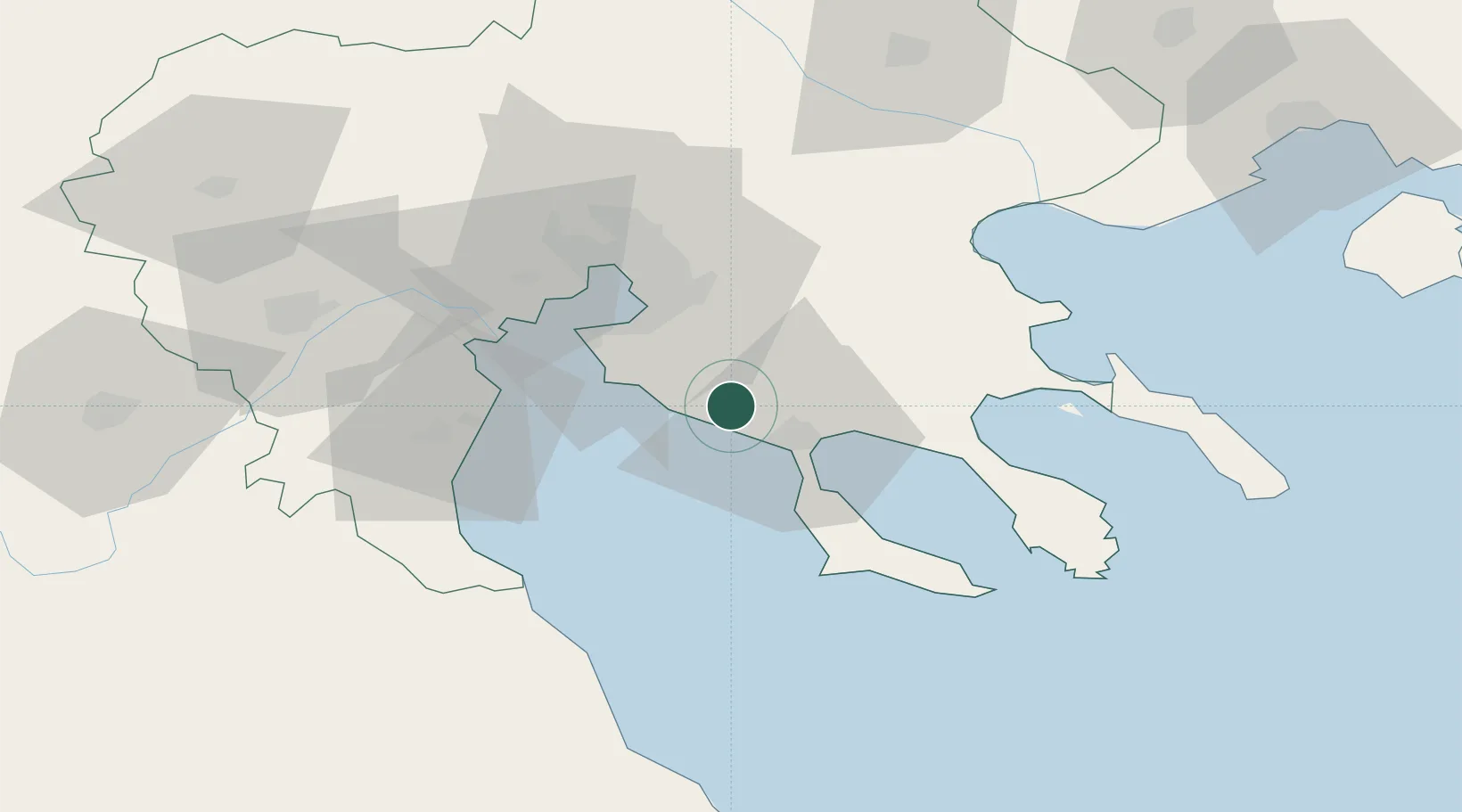
Nearby Logistics Neighbours

Cities
  1. 1Néa Pláyia8 km
  2. 2Néa Kallikrátia9 km
  3. 3Néa Moudhaniá15 km
  4. 4Yerakiní25 km
  5. 5Perea29 km
Nearest neighbours — logibook spatial index (haversine) over the source coordinates
Ports
  1. 1Yerakini27 km
  2. 2Thessaloniki39 km
  3. 3Stratoni60 km
  4. 4Volos109 km
  5. 5Kavala124 km
Nearest neighbours — logibook spatial index (haversine) over the source coordinates
Airports
  1. 1Thessaloniki Macedonia International Airport27 km
  2. 2Kozani National Airport Filippos113 km
  3. 3Nea Anchialos National Airport128 km
  4. 4Skiathos Island National Airport132 km
  5. 5Kavala Alexander the Great International Airport139 km
Nearest neighbours — logibook spatial index (haversine) over the source coordinates
Trade Zones
  1. 1Free Zone of Thessaloniki40 km
  2. 2TIDZ Gevgelija112 km
  3. 3TIDZ Strumica124 km
  4. 4TIDZ Berovo155 km
  5. 5TIDZ Radoviš156 km
Nearest neighbours — logibook spatial index (haversine) over the source coordinates
DatabookThe Record of Consolidated Knowledge
Greece beyond logistics?
Browse databook

All Sources

LocationsUN/LOCODE
UN/LOCODE — free
Portsthe NGA World Port Index
Public domain (US gov)
AirportsOurAirports
Public domain
Trade Zonesthe World Bank SEZ database
CC BY 4.0
Trade ZonesOpen Zone Map
CC BY
← Greece locations