UN/LOCODE hub · Greece
GRNKA

Néa Kallikrátia

40.3167°, 23.0667°
2
Transport functions

Transport Functions

Port
Road
UN/LOCODE

Hub Profile

Region
64
GeoNames

Location

Location of GRNKA
Natural Earth 10m (public domain) · 64 · GRNKA · 40.32, 23.07GoogleOSMYandex

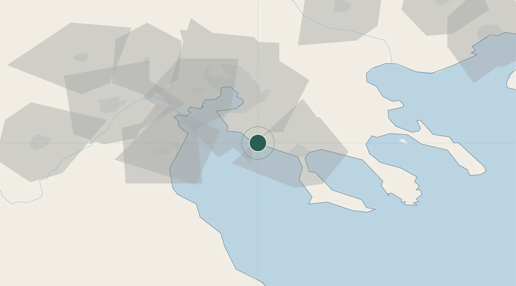
Nearby Logistics Neighbours

Cities
  1. 1Elaiokhória9 km
  2. 2Néa Pláyia13 km
  3. 3Néa Moudhaniá21 km
  4. 4Perea25 km
  5. 5Kalamaria30 km
Nearest neighbours — logibook spatial index (haversine) over the source coordinates
Ports
  1. 1Yerakini34 km
  2. 2Thessaloniki37 km
  3. 3Stratoni69 km
  4. 4Volos106 km
  5. 5Tsingeli129 km
Nearest neighbours — logibook spatial index (haversine) over the source coordinates
Airports
  1. 1Thessaloniki Macedonia International Airport24 km
  2. 2Kozani National Airport Filippos104 km
  3. 3Nea Anchialos National Airport124 km
  4. 4Skiathos Island National Airport132 km
  5. 5Kavala Alexander the Great International Airport147 km
Nearest neighbours — logibook spatial index (haversine) over the source coordinates
Trade Zones
  1. 1Free Zone of Thessaloniki38 km
  2. 2TIDZ Gevgelija109 km
  3. 3TIDZ Strumica123 km
  4. 4TIDZ Radoviš154 km
  5. 5TIDZ Berovo156 km
Nearest neighbours — logibook spatial index (haversine) over the source coordinates
DatabookThe Record of Consolidated Knowledge
Greece beyond logistics?
Browse databook

All Sources

LocationsUN/LOCODE
UN/LOCODE — free
Portsthe NGA World Port Index
Public domain (US gov)
AirportsOurAirports
Public domain
Trade Zonesthe World Bank SEZ database
CC BY 4.0
Trade ZonesOpen Zone Map
CC BY
← Greece locations