UN/LOCODE hub · Greece
GRPRR

Perea

40.5000°, 22.9000°
2
Transport functions

Transport Functions

Port
Road
UN/LOCODE

Hub Profile

Region
54
GeoNames

Location

Location of GRPRR
Natural Earth 10m (public domain) · 54 · GRPRR · 40.50, 22.90GoogleOSMYandex

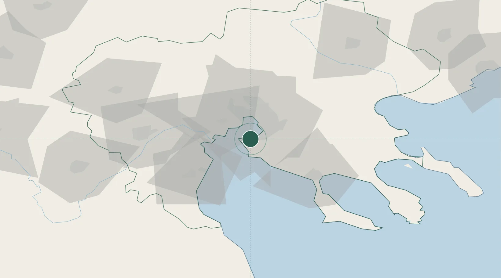
Nearby Logistics Neighbours

Cities
  1. 1Kalamaria9 km
  2. 2Thessaloníki16 km
  3. 3Évosmon19 km
  4. 4Oreokastro24 km
  5. 5Néa Kallikrátia25 km
Nearest neighbours — logibook spatial index (haversine) over the source coordinates
Ports
  1. 1Thessaloniki15 km
  2. 2Yerakini55 km
  3. 3Stratoni79 km
  4. 4Volos126 km
  5. 5Kavala135 km
Nearest neighbours — logibook spatial index (haversine) over the source coordinates
Trade Zones
  1. 1Free Zone of Thessaloniki15 km
  2. 2TIDZ Gevgelija85 km
  3. 3TIDZ Strumica100 km
  4. 4TIDZ Radoviš131 km
  5. 5TIDZ Berovo134 km
Nearest neighbours — logibook spatial index (haversine) over the source coordinates
DatabookThe Record of Consolidated Knowledge
Greece beyond logistics?
Browse databook

All Sources

LocationsUN/LOCODE
UN/LOCODE — free
Portsthe NGA World Port Index
Public domain (US gov)
AirportsOurAirports
Public domain
Trade Zonesthe World Bank SEZ database
CC BY 4.0
Trade ZonesOpen Zone Map
CC BY
← Greece locations