Transport Functions
Port
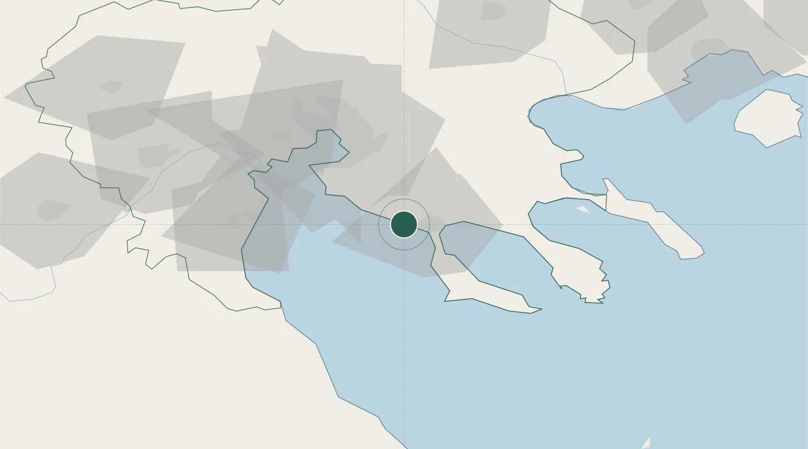
Location
Nearby Logistics Neighbours
Cities
- 1Elaiokhória8 km
- 2Néa Moudhaniá8 km
- 3Néa Kallikrátia13 km
- 4Yerakiní21 km
- 5Perea36 km
Ports
- 1Yerakini23 km
- 2Thessaloniki47 km
- 3Stratoni60 km
- 4Volos102 km
- 5Kavala126 km
Airports
Trade Zones
- 1Free Zone of Thessaloniki47 km
- 2TIDZ Gevgelija119 km
- 3TIDZ Strumica132 km
- 4TIDZ Berovo163 km
- 5TIDZ Radoviš164 km
DatabookThe Record of Consolidated Knowledge
Greece beyond logistics?