Transport Functions
Port
Road
Hub Profile
Region
F
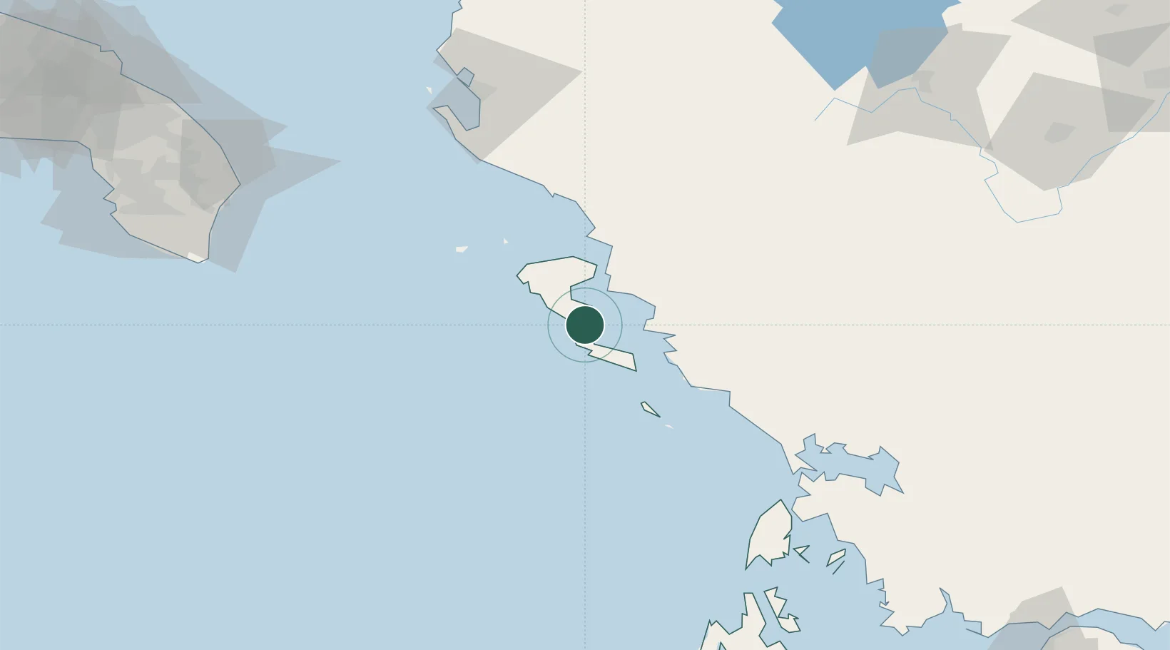
Location
Nearby Logistics Neighbours
Cities
- 1Kérkira (Corfu)8 km
- 2Messongis10 km
- 3Gouvion12 km
- 4Mpoukaris13 km
- 5Petriti14 km
Airports
Trade Zones
- 1Gjirokastër Freezone62 km
- 2Përmet Freezone86 km
- 3Vlora Technical and Economic Development Area111 km
- 4Fier Freezone132 km
- 5Korçë Freezone143 km
DatabookThe Record of Consolidated Knowledge
Greece beyond logistics?