Seaport · Greece

AstakosGRAST

38.4833°, 21.1000°
14.6
Port liner connectivity
Astakos is also a UN/LOCODE logistics hub →

Channel & Berth Profile

SEA LEVEL (CD)CHANNEL BEDCargo pier · 3.4 mAnchorage · 17.1 m
NGA World Port Index

Pilotage, Tugs & Services

Pilotage compulsoryNO
Pilotage availableYES
Potable waterYES
Diesel bunkersYES
MedicalYES
Garbage disposalYES
NGA World Port Index

Facilities & Capabilities

Container
Ro-Ro
Liquid bulk
Dry bulk
Oil terminal
Break bulk
Dry dock
Repairs
BunkeringYES
Rail link
Dangerous cargo
ISPS security
NGA World Port Index

Harbour Specifications

Harbour size
Small
NGA World Port Index
Harbour type
Coastal (Natural)
NGA World Port Index
Shelter
Fair
NGA World Port Index
Water body
Ionian Sea; Mediterranean Sea; North Atlantic Ocean
NGA World Port Index
Pilotage
No
NGA World Port Index

Liner Connectivity

14.6
PLSCI

Port Liner Shipping Connectivity Index for Astakos, as published by UNCTAD for the latest available quarter. Higher values indicate stronger scheduled liner-shipping integration.

Shown relative to the highest per-port PLSCI in the dataset (1,657.9).
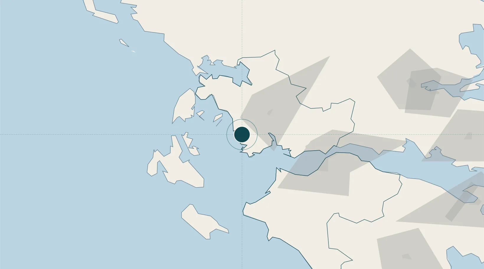
UNCTAD · Port Liner Shipping Connectivity Index

Location

Location of GRAST
Natural Earth 10m (public domain) · Dytiki Ellada · GRAST · 38.48, 21.10GoogleOSMYandex

Nearby Logistics Neighbours

Ports
  1. 1Mesolongion31 km
  2. 2Preveza60 km
  3. 3Argostolion61 km
  4. 4Patrai61 km
  5. 5Aigio90 km
Nearest neighbours — logibook spatial index (haversine) over the source coordinates
Cities
  1. 1Platygiali Etoloakarnanias2 km
  2. 2Kastos Island18 km
  3. 3Kalamos Island (Lefkada)22 km
  4. 4Aitolikon23 km
  5. 5Mesolóngion32 km
Nearest neighbours — logibook spatial index (haversine) over the source coordinates
Airports
  1. 1Patras Araxos Agamemnon Airport47 km
  2. 2Aktion National Airport57 km
  3. 3Andravida Air Base65 km
  4. 4Kefallinia Airport66 km
  5. 5Zakynthos International Airport Dionysios Solomos84 km
Nearest neighbours — logibook spatial index (haversine) over the source coordinates
Trade Zones
  1. 1Free Zone of Platigiali (Astakos Etoloakarnanias)1 km
  2. 2Gjirokastër Freezone194 km
  3. 3Përmet Freezone206 km
  4. 4Free Zone of Piraeus228 km
  5. 5Korçë Freezone241 km
Nearest neighbours — logibook spatial index (haversine) over the source coordinates
DatabookThe Record of Consolidated Knowledge
Greece beyond logistics?
Browse databook

All Sources

Portsthe NGA World Port Index
Public domain (US gov)
Logistics performanceUNCTAD
CC BY 3.0 IGO
AirportsOurAirports
Public domain
LocationsUN/LOCODE
UN/LOCODE — free
Trade Zonesthe World Bank SEZ database
CC BY 4.0
Trade ZonesOpen Zone Map
CC BY
← Greece ports