UN/LOCODE hub · Greece
GRCFU

Kérkira (Corfu)

39.6167°, 19.9167°
2
Transport functions

Transport Functions

Port
Airport
Kérkira (Corfu) is also a profiled seaport →
UN/LOCODE

Hub Profile

Region
22
GeoNames

Location

Location of GRCFU
Natural Earth 10m (public domain) · 22 · GRCFU · 39.62, 19.92GoogleOSMYandex

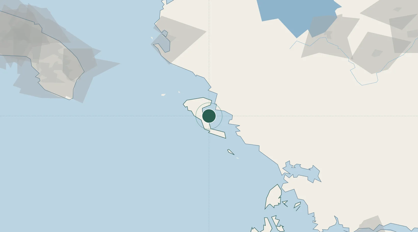
Nearby Logistics Neighbours

Cities
  1. 1Gouvion7 km
  2. 2Benitsa8 km
  3. 3Ypsos12 km
  4. 4Messongis17 km
  5. 5Agios Stefanos Corfu17 km
Nearest neighbours — logibook spatial index (haversine) over the source coordinates
Ports
  1. 1Vlore101 km
  2. 2Preveza103 km
  3. 3Otranto135 km
  4. 4Astakos162 km
  5. 5Argostolion168 km
Nearest neighbours — logibook spatial index (haversine) over the source coordinates
Airports
  1. 1Corfu Ioannis Kapodistrias International Airport2 km
  2. 2Ioannina King Pyrrhus National Airport78 km
  3. 3Aktion National Airport106 km
  4. 4Kuçovë Air Base129 km
  5. 5Kastoria National Airport Aristotle148 km
Nearest neighbours — logibook spatial index (haversine) over the source coordinates
Trade Zones
  1. 1Gjirokastër Freezone54 km
  2. 2Përmet Freezone79 km
  3. 3Vlora Technical and Economic Development Area105 km
  4. 4Fier Freezone125 km
  5. 5Korçë Freezone136 km
Nearest neighbours — logibook spatial index (haversine) over the source coordinates
DatabookThe Record of Consolidated Knowledge
Greece beyond logistics?
Browse databook

All Sources

LocationsUN/LOCODE
UN/LOCODE — free
Portsthe NGA World Port Index
Public domain (US gov)
AirportsOurAirports
Public domain
Trade Zonesthe World Bank SEZ database
CC BY 4.0
Trade ZonesOpen Zone Map
CC BY
← Greece locations