Transport Functions
Port
Road
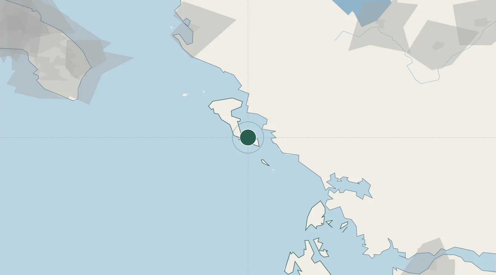
Hub Profile
Place type
Populated place
Region
Ionian Islands
Population
663
Time zone
Europe/Athens
Elevation
15 m
Location
Nearby Logistics Neighbours
Cities
- 1Mpoukaris1 km
- 2Messongis6 km
- 3Lefkímmi9 km
- 4Benitsa14 km
- 5Kérkira (Corfu)20 km
Ports
- 1Kerkira19 km
- 2Preveza85 km
- 3Vlore121 km
- 4Astakos144 km
- 5Argostolion148 km
Airports
Trade Zones
DatabookThe Record of Consolidated Knowledge
Greece beyond logistics?