Transport Functions
Port
Road
Hub Profile
Region
F
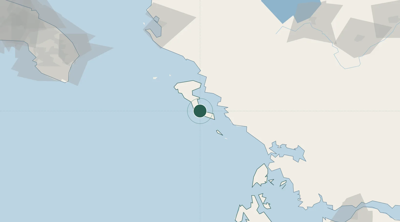
Location
Nearby Logistics Neighbours
Cities
- 1Mpoukaris5 km
- 2Petriti6 km
- 3Benitsa10 km
- 4Lefkímmi15 km
- 5Kérkira (Corfu)17 km
Airports
Trade Zones
DatabookThe Record of Consolidated Knowledge
Greece beyond logistics?