Transport Functions
Port
Road
Hub Profile
Region
F
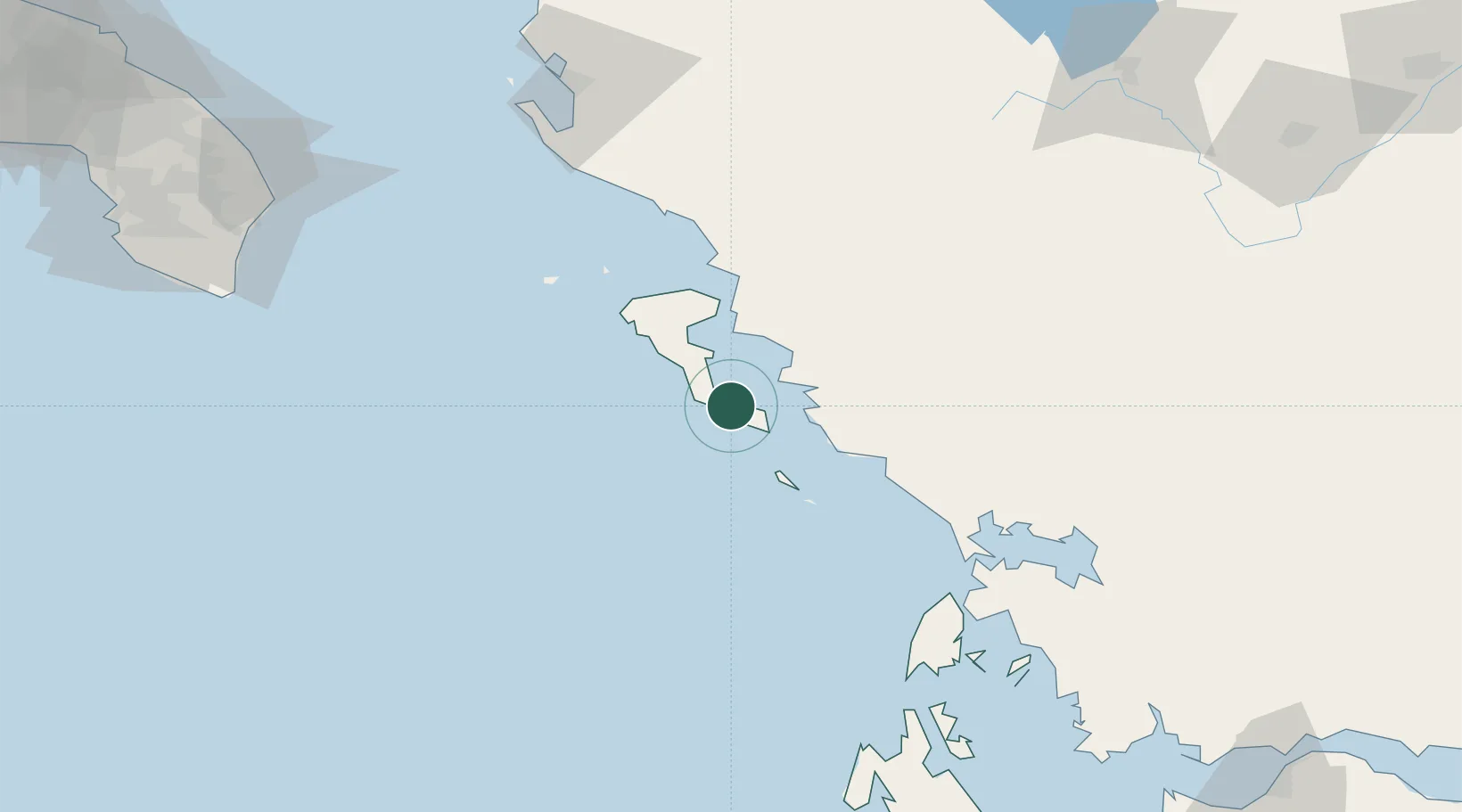
Location
Nearby Logistics Neighbours
Cities
- 1Petriti1 km
- 2Messongis5 km
- 3Lefkímmi11 km
- 4Benitsa13 km
- 5Kérkira (Corfu)19 km
Ports
- 1Kerkira19 km
- 2Preveza86 km
- 3Vlore120 km
- 4Astakos145 km
- 5Argostolion148 km
Airports
Trade Zones
DatabookThe Record of Consolidated Knowledge
Greece beyond logistics?