UN/LOCODE hub · Greece
GREYD

Eydilos

37.6333°, 26.1833°
1
Transport functions

Transport Functions

Port
UN/LOCODE

Location

Location of GREYD
Natural Earth 10m (public domain) · Voreio Aigaio · GREYD · 37.63, 26.18GoogleOSMYandex

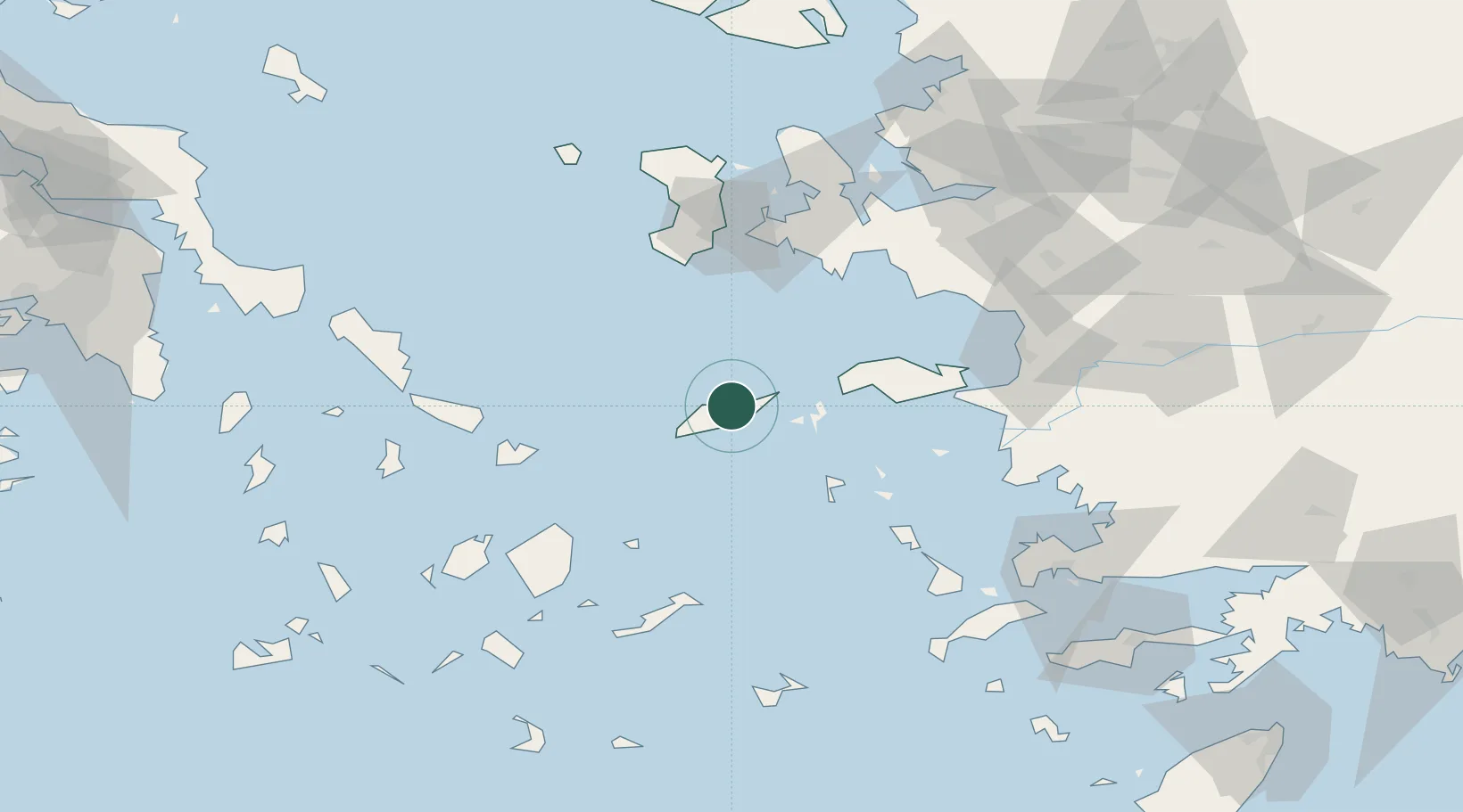
Nearby Logistics Neighbours

Cities
  1. 1Agios Kírykos10 km
  2. 2Karkinagri Ikarias20 km
  3. 3Thymaina Island24 km
  4. 4Foúrnoi32 km
  5. 5Marathokampos Samou46 km
Nearest neighbours — logibook spatial index (haversine) over the source coordinates
Ports
  1. 1Neon Karlovas48 km
  2. 2Pithagorion68 km
  3. 3Samos70 km
  4. 4Mikonos78 km
  5. 5Lakki81 km
Nearest neighbours — logibook spatial index (haversine) over the source coordinates
Airports
  1. 1Ikaria Airport15 km
  2. 2Samos Airport64 km
  3. 3Leros Airport74 km
  4. 4Mykonos Island National Airport77 km
  5. 5Chios Island National Airport79 km
Nearest neighbours — logibook spatial index (haversine) over the source coordinates
Trade Zones
  1. 1Aegean Free Zone114 km
  2. 2Izmir Ataturk Organized Industrial Zone121 km
  3. 3Izmir Free Zone128 km
  4. 4Tire Organized Industrial Zone144 km
  5. 5Manisa Organized Industrial Zone150 km
Nearest neighbours — logibook spatial index (haversine) over the source coordinates
DatabookThe Record of Consolidated Knowledge
Greece beyond logistics?
Browse databook

All Sources

LocationsUN/LOCODE
UN/LOCODE — free
Portsthe NGA World Port Index
Public domain (US gov)
AirportsOurAirports
Public domain
Trade Zonesthe World Bank SEZ database
CC BY 4.0
Trade ZonesOpen Zone Map
CC BY
← Greece locations