UN/LOCODE hub · Greece
GRPMS

Pátmos

37.3167°, 26.5500°
541
Population
1
Transport functions

Transport Functions

Port
UN/LOCODE

Hub Profile

Place type
District seat
GeoNames
Region
South Aegean
GeoNames
Population
541
GeoNames
Time zone
Europe/Athens
GeoNames
Elevation
224 m
GeoNames

Location

Location of GRPMS
Natural Earth 10m (public domain) · South Aegean · GRPMS · 37.32, 26.55GoogleOSMYandex

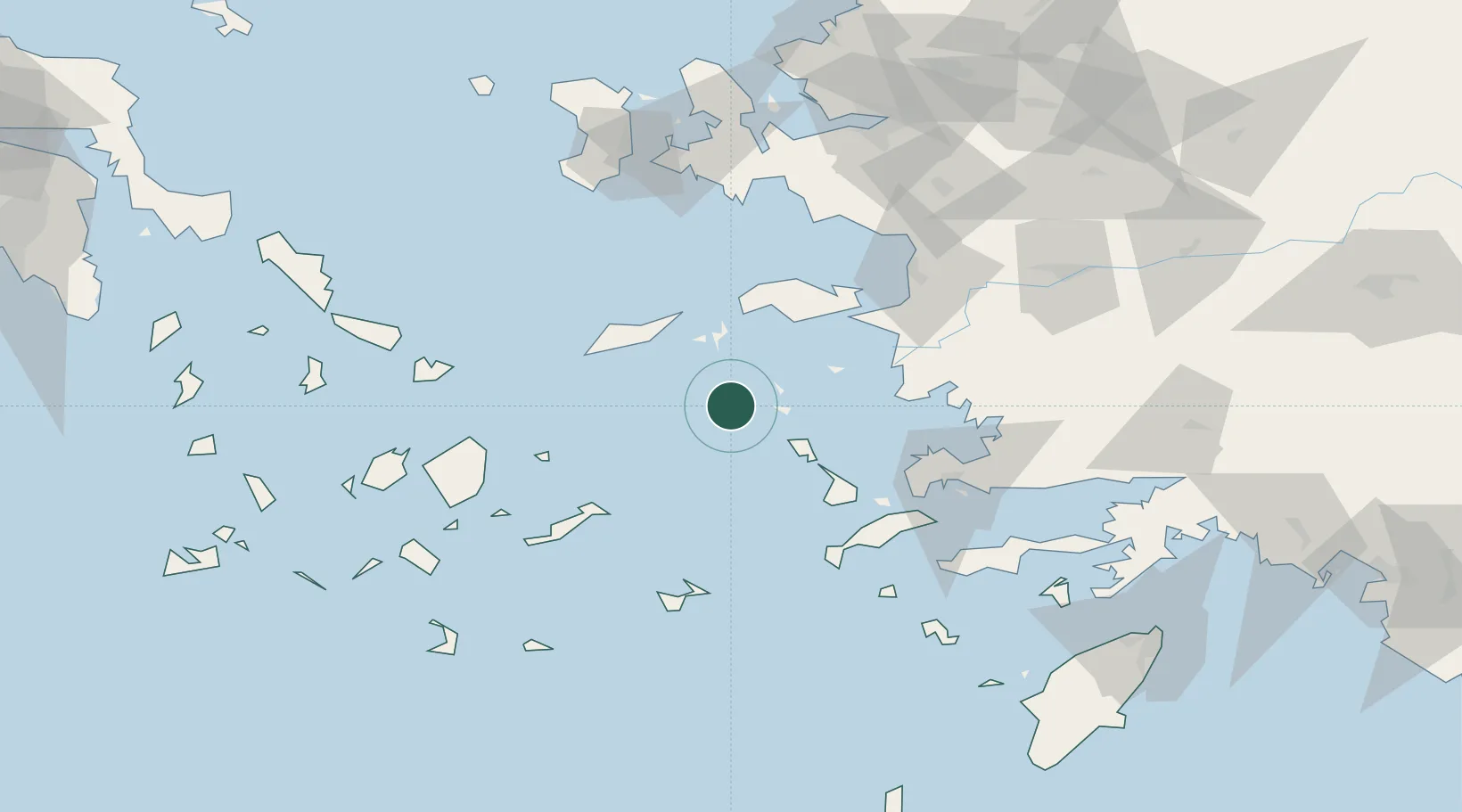
Nearby Logistics Neighbours

Cities
  1. 1Arkioi Dodekanissou18 km
  2. 2Lipsoí20 km
  3. 3Foúrnoi21 km
  4. 4Leros27 km
  5. 5Thymaina Island31 km
Nearest neighbours — logibook spatial index (haversine) over the source coordinates
Ports
  1. 1Lakki34 km
  2. 2Pithagorion54 km
  3. 3Neon Karlovas55 km
  4. 4Kalimnos56 km
  5. 5Samos61 km
Nearest neighbours — logibook spatial index (haversine) over the source coordinates
Airports
  1. 1Leros Airport27 km
  2. 2Ikaria Airport45 km
  3. 3Samos Airport52 km
  4. 4Kalymnos Airport52 km
  5. 5Kos International Airport "Ippokratis"75 km
Nearest neighbours — logibook spatial index (haversine) over the source coordinates
Trade Zones
  1. 1Aegean Free Zone124 km
  2. 2Tire Organized Industrial Zone135 km
  3. 3Izmir Ataturk Organized Industrial Zone137 km
  4. 4Izmir Free Zone149 km
  5. 5Manisa Organized Industrial Zone161 km
Nearest neighbours — logibook spatial index (haversine) over the source coordinates
DatabookThe Record of Consolidated Knowledge
Greece beyond logistics?
Browse databook

All Sources

LocationsUN/LOCODE
UN/LOCODE — free
LocationsGeoNames
CC BY 4.0
Portsthe NGA World Port Index
Public domain (US gov)
AirportsOurAirports
Public domain
Trade Zonesthe World Bank SEZ database
CC BY 4.0
Trade ZonesOpen Zone Map
CC BY
← Greece locations