UN/LOCODE hub · Greece
GRAKI

Agios Kírykos

37.6167°, 26.3000°
1,908
Population
1
Transport functions

Transport Functions

Port
UN/LOCODE

Hub Profile

Place type
District seat
GeoNames
Region
North Aegean
GeoNames
Population
1,908
GeoNames
Time zone
Europe/Athens
GeoNames
Elevation
35 m
GeoNames

Location

Location of GRAKI
Natural Earth 10m (public domain) · North Aegean · GRAKI · 37.62, 26.30GoogleOSMYandex

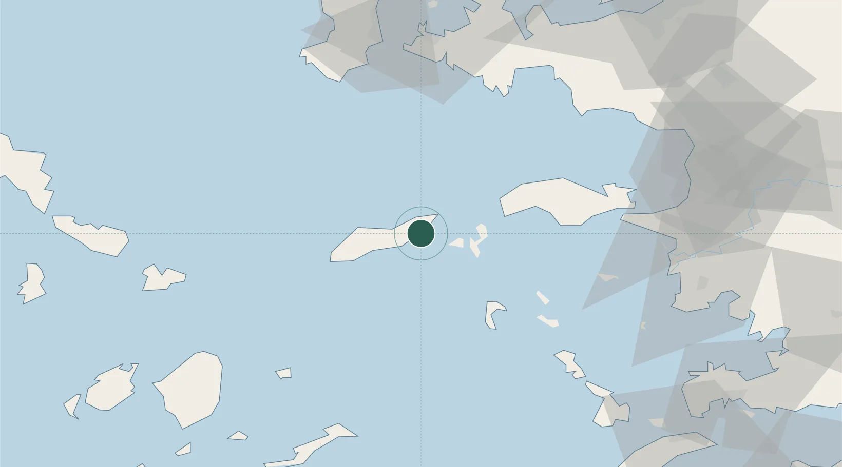
Nearby Logistics Neighbours

Cities
  1. 1Eydilos10 km
  2. 2Thymaina Island14 km
  3. 3Foúrnoi22 km
  4. 4Karkinagri Ikarias27 km
  5. 5Marathokampos Samou36 km
Nearest neighbours — logibook spatial index (haversine) over the source coordinates
Ports
  1. 1Neon Karlovas39 km
  2. 2Pithagorion58 km
  3. 3Samos61 km
  4. 4Lakki73 km
  5. 5Khios85 km
Nearest neighbours — logibook spatial index (haversine) over the source coordinates
Airports
  1. 1Ikaria Airport8 km
  2. 2Samos Airport55 km
  3. 3Leros Airport65 km
  4. 4Chios Island National Airport82 km
  5. 5Mykonos Island National Airport86 km
Nearest neighbours — logibook spatial index (haversine) over the source coordinates
Trade Zones
  1. 1Aegean Free Zone108 km
  2. 2Izmir Ataturk Organized Industrial Zone117 km
  3. 3Izmir Free Zone124 km
  4. 4Tire Organized Industrial Zone136 km
  5. 5Manisa Organized Industrial Zone145 km
Nearest neighbours — logibook spatial index (haversine) over the source coordinates
DatabookThe Record of Consolidated Knowledge
Greece beyond logistics?
Browse databook

All Sources

LocationsUN/LOCODE
UN/LOCODE — free
LocationsGeoNames
CC BY 4.0
Portsthe NGA World Port Index
Public domain (US gov)
AirportsOurAirports
Public domain
Trade Zonesthe World Bank SEZ database
CC BY 4.0
Trade ZonesOpen Zone Map
CC BY
← Greece locations