Transport Functions
Port
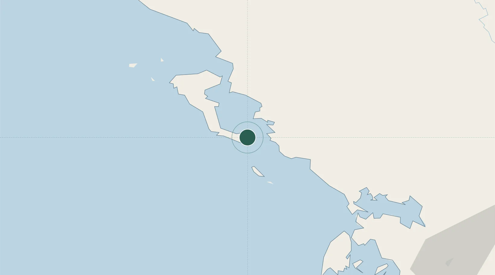
Hub Profile
Place type
Populated place
Region
Ionian Islands
Population
2,935
Time zone
Europe/Athens
Elevation
21 m
Location
Nearby Logistics Neighbours
DatabookThe Record of Consolidated Knowledge
Greece beyond logistics?